Public domain
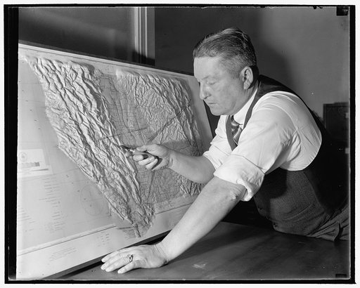
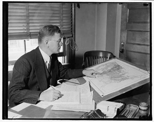
Government cartographer develops new process for making relief maps. Washington, D.C., Jan. 13. Through a process just perfected by John Braund, Cartographer for the U.S. Coast and Geodetic Survey, relief maps can now be made showing all the details of topography in a form true to nature and which c
From the collection of Library of Congress. Free to download, adapt and use — no permission needed.
Credit lineGovernment cartographer develops new process for making relief maps. Washington, D.C., Jan. 13. Through a process just perfected by John Braund, Cartographer for the U.S. Coast and Geodetic Survey, re. 1939-01-01. Harris & Ewing. Harris & Ewing Collection, Library of Congress. Public domain.
Similar works
![John Braund [?] Brown, 1/13/39](https://thumbs.arkivism.com/loc-2016874858.jpg) John Braund [?] Brown, 1/13/39
John Braund [?] Brown, 1/13/39
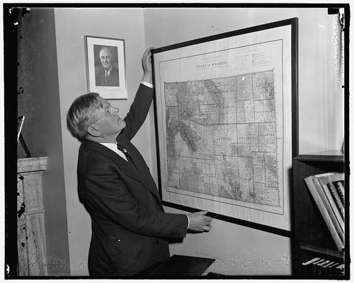 Sen. H.H. Schwartz, Wyoming
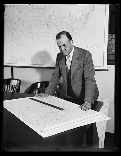 NO CAPTION
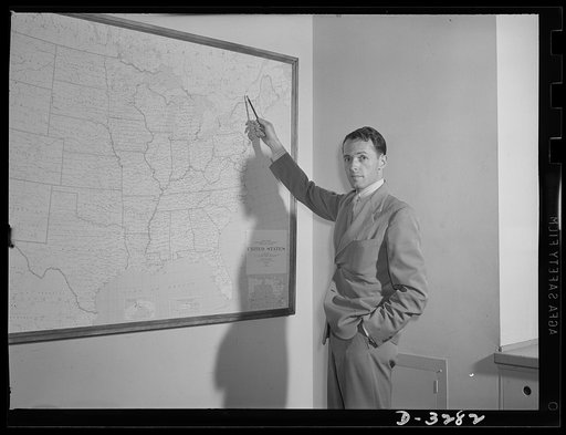 Mr. Edward A. Locke
 U.S. expert on crop insurance. Washington, D.C., Sept. 21. Considered by agriculture leaders to be the nation's foremost authority on crop insurance, Roy M. Green is now in charge of Division of Agriculture Finance, U.S. Department of Agriculture. 48 years old, Green is a Native of Missouri and a gr
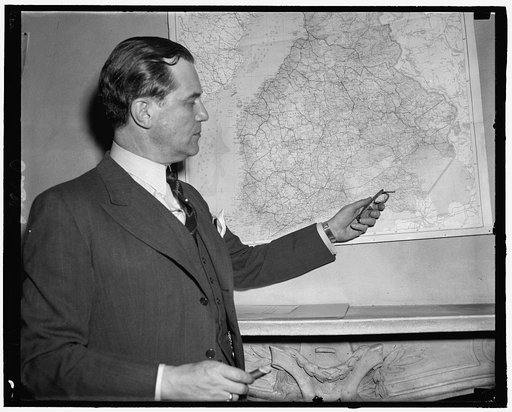 Hjalmar Procope