Public domain
Earth Science
From the collection of NASA Image and Video Library. Free to download, adapt and use — no permission needed.
About this work
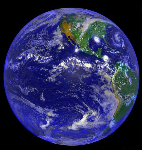
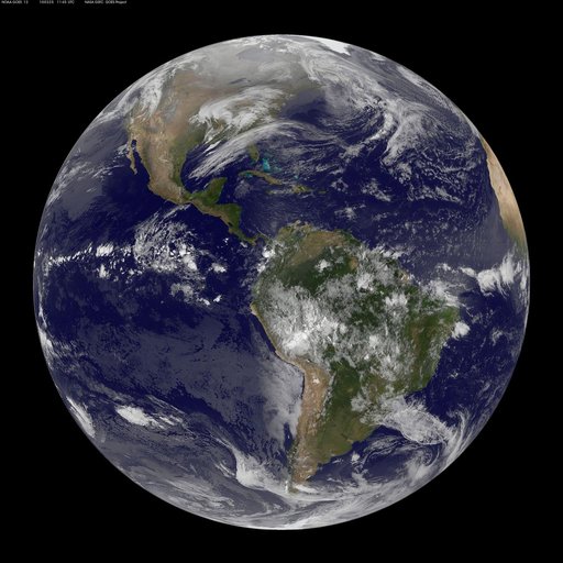
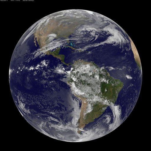
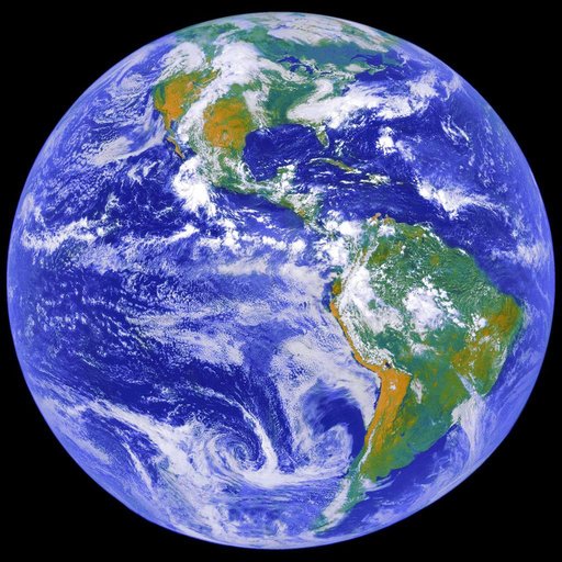
This image depicts a full view of the Earth, taken by the Geostationary Operational Environment Satellite (GOES-8). The red and green charnels represent visible data, while the blue channel represents inverted 11 micron infrared data. The north and south poles were not actually observed by GOES-8. To produce this image, poles were taken from a GOES-7 image.
NASA Image and Video Library’s own descriptionCredit lineEarth Science. NASA/MSFC, 1994-09-02. Public domain. ID: 0202795.