Public domain
2014-2822
From the collection of NASA Image and Video Library. Free to download, adapt and use — no permission needed.
About this work
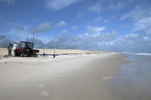
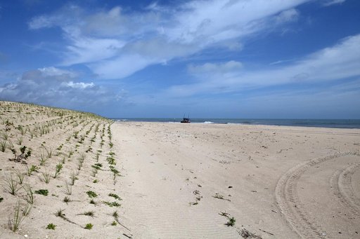
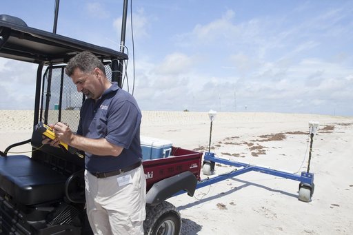
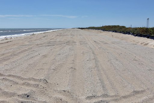
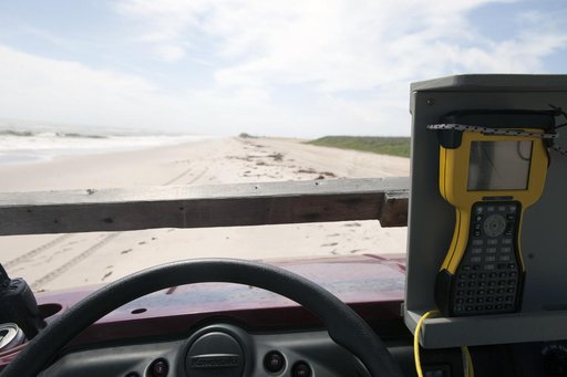
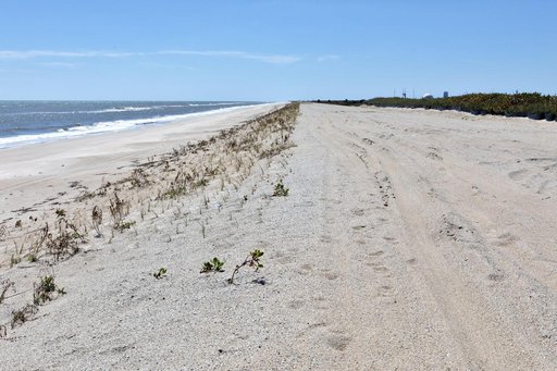
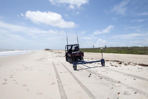
CAPE CANAVERAL, Fla. -- Rich MacKenzie, who earned a doctorate in geological sciences at the University of Florida, collects Global Positioning System survey measurements along a restored 1.2 mile stretch of shoreline near Launch Pads 39A and B. Experts from University of Florida are working with NASA scientists to better understand beach erosion.
NASA Image and Video Library’s own descriptionCredit line2014-2822. NASA/KSC, 2014-05-15. Public domain. ID: 2014-2822.