Public domain
Kuiper Airborne Observatory (KAO) Demolition
From the collection of NASA Image and Video Library. Free to download, adapt and use — no permission needed.
About this work
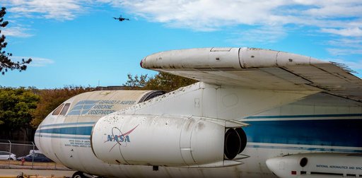
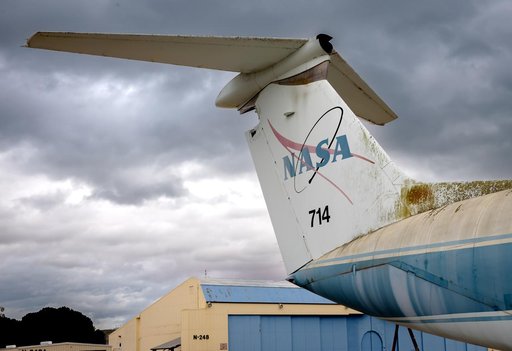
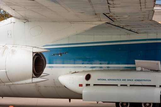
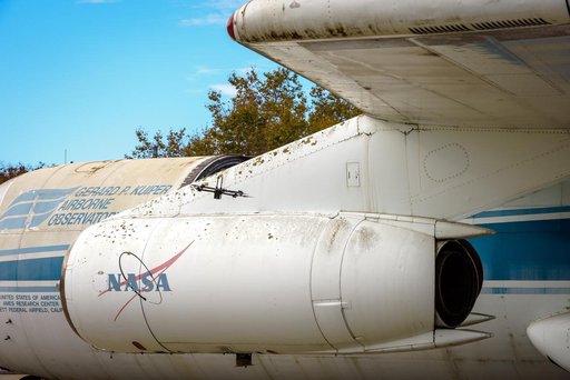
The drone follows an autonomously defined path around the modified C-141 Kuiper Airborne Observatory, (KAO) (NASA-714), on the N211 apron. The drone photographs the aircraft with a visible and infrared camera which are processed using a photogrammetry software package called Pix4D that converts them into a 3D model. Scanning the aircraft is the first phase of documenting the aircraft demolition as well as an opportunity to train pilots to operate the Pix4D software.
NASA Image and Video Library’s own descriptionCredit lineKuiper Airborne Observatory (KAO) Demolition. NASA/ARC, 2024-10-16. Public domain. ID: ACD24-0161-016.