Public domain
AfriSAR 2016
From the collection of NASA Image and Video Library. Free to download, adapt and use — no permission needed.
About this work
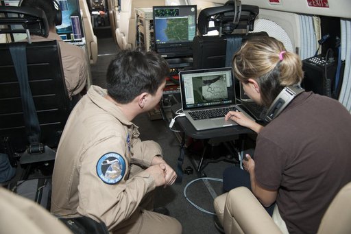
Sam Choi and Naiara Pinto observe Google Earth overlaid with in almost real time what the synthetic aperture radar is mapping from the C-20A aircraft. Researchers were in the sky and on the ground to take measurements of plant mass, distribution of trees, shrubs and ground cover and the diversity of plants and how much carbon is absorbed by them.
NASA Image and Video Library’s own descriptionCredit lineAfriSAR 2016. NASA/AFRC, 2016-02-27. Public domain. ID: AFRC2016-0054-528.
Similar works
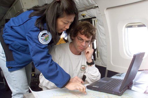 NASA JPL scientists Yunling Lou and Dr. Eric Rignot work on line selection while flying AirSAR missions over the Antarctic Peninsula
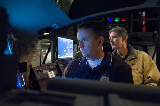 STS-132 crew during their PDRS N-TSK MRM training in the building 16 cupola trainer.
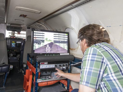 Testing of the External Vision System (XVS) Software on the B200 King Air
 SARP 2023
 NASA’s DC-8 aircraft tracks fuel in ecoDemonstrator 2023 project with Boeing, partners
 jsc2012e035421