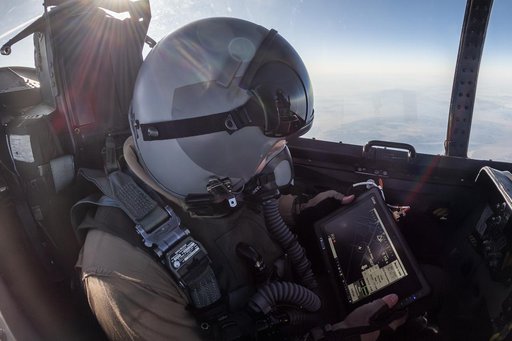
Public domain
NASA Photographer Tracks Airborne Location Integrating Geospatial Navigation System
From the collection of NASA Image and Video Library. Free to download, adapt and use — no permission needed.
About this work
NASA photographer James Ross monitors the Airborne Location Integrating Geospatial Navigation System (ALIGNS) from the backseat of an F-15 near NASA’s Armstrong Flight Research Center in Edwards, California. The ALIGNS provides real-time positioning guidance between aircraft for shock wave probing and schlieren imagery capture.
NASA Image and Video Library’s own descriptionSubjects
Credit lineNASA Photographer Tracks Airborne Location Integrating Geospatial Navigation System. NASA/AFRC, 2025-04-30. Public domain. ID: AFRC2025-0074-184.
Similar works
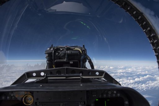 Quiet Supersonic Dive Maneuver Seen from NASA F/A-18
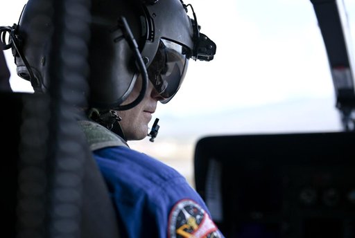 NASA Uses Colorado Mountains for Simulated Artemis Moon Landing Course
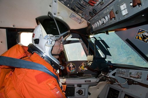 STS-129 Crew Training - Commander Charles Hobaugh during STA Training
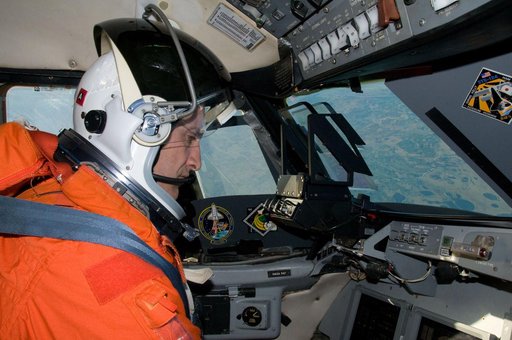 STS-129 Crew Training - Commander Charles Hobaugh during STA Training
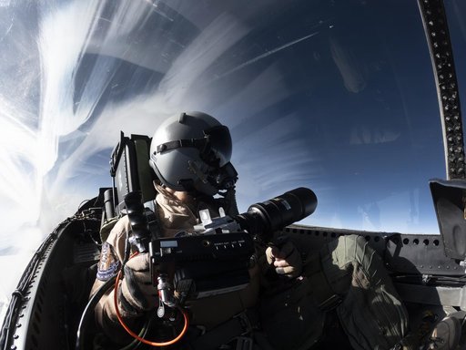 NASA Photographer Uses Schlieren Photography System
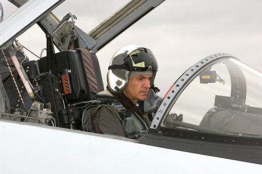 STS-117 crew members Frederick Sturckow and Lee Archambault leaving in T-38