Public domain
ARC-1991-AC91-0610-1
From the collection of NASA Image and Video Library. Free to download, adapt and use — no permission needed.
About this work
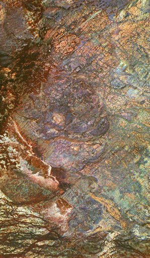
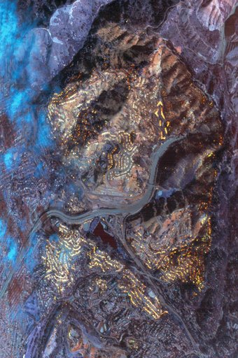
This data was acquired by the NASA C-130B Earth Resources Survey aircraft flying at 6,000 ft. mean sea level at 10:26 a. m. on October 21, 1991. The sensor used was the NS001 Thermatic Mapper Simulator, with a ground resolution of 4.6 meters (15ft). The image area is 4.7 x 3.2 km (2.9 x 2 mi.). The area covered is the Oakland Berkeley Hills near the Caldecott Tunnel (Upper right).
NASA Image and Video Library’s own descriptionSubjects
Credit lineARC-1991-AC91-0610-1. NASA/ARC, 1991-10-02. Public domain. ID: ARC-1991-AC91-0610-1.