Public domain
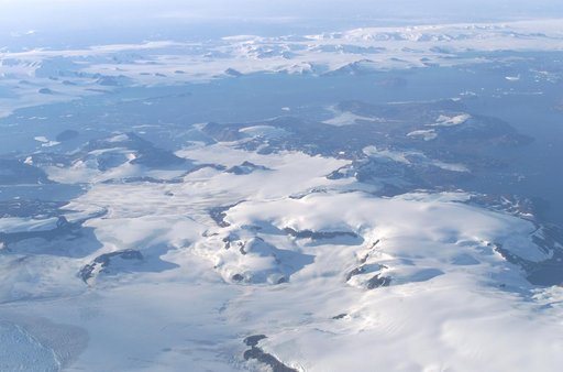
James Ross Island captured by NASA photographer James Ross, from NASA's DC-8 aircraft during an AirSAR 2004 mission over the Antarctic Peninsula
From the collection of NASA Image and Video Library. Free to download, adapt and use — no permission needed.
About this work
James Ross Island captured by NASA photographer James Ross(no relation), from NASA's DC-8 aircraft during an AirSAR 2004 mission over the Antarctic Peninsula. James Ross Island, named for 19th century British polar explorer Sir James Clark Ross, is located at the northern tip of the Antarctic Peninsula. The island is about 1500 m high and 40-60 km wide.
NASA Image and Video Library’s own descriptionSubjects
Credit lineJames Ross Island captured by NASA photographer James Ross, from NASA's DC-8 aircraft during an AirSAR 2004 mission over the Antarctic Peninsula. NASA/AFRC, 2004-03-16. Public domain. ID: ED04-0056-137.
Similar works
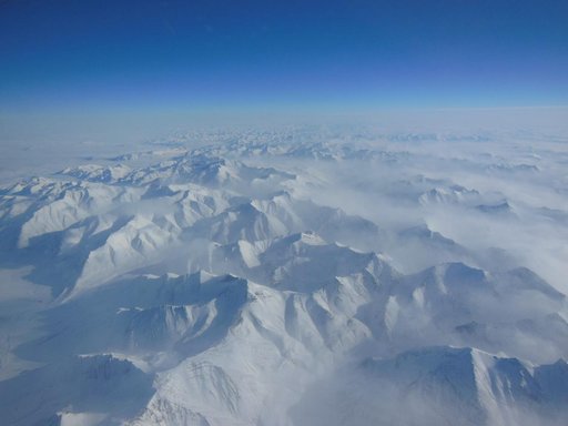 Alaska Mountains
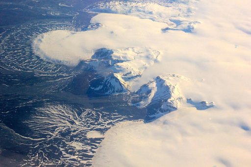 NASA Radar Maps the Winter Pace of Iceland Glaciers
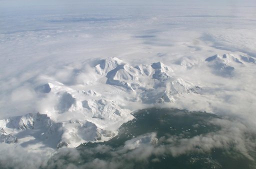 An AirSAR 2004 view from the DC-8 as it approaches the Larsen Ice Shelf, which is part of the Antarctic Peninsula
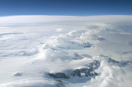 The Larsen Ice Shelf in Antarctica viewed from NASA's DC-8 aircraft during the AirSAR 2004 campaign
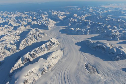 NASA’s Operation IceBridge Completes Twin Polar Campaigns
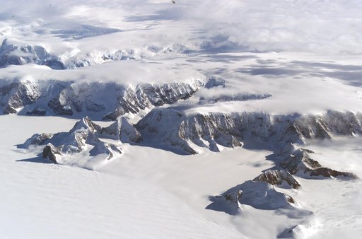 The Larsen Ice Shelf in Antarctica viewed from NASA's DC-8 aircraft during the AirSAR 2004 campaign