Public domain
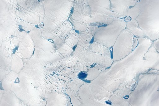
Early Melt on the Greenland Ice Sheet
From the collection of NASA Image and Video Library. Free to download, adapt and use — no permission needed.
About this work
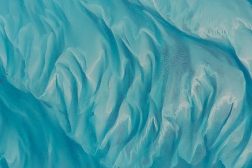
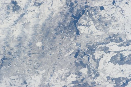
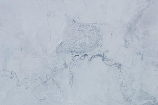
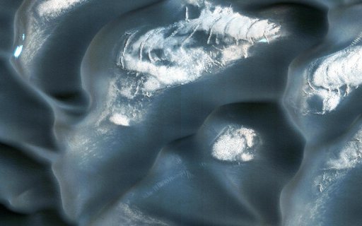
On June 15, 2016, the Advanced Land Imager (ALI) on NASA’s Earth Observing-1 satellite acquired a natural-color image of an area just inland from the coast of southwestern Greenland (120 kilometers southeast of Ilulisat and 500 kilometers north-northeast of Nuuk). According to Marco Tedesco, a professor at Columbia University’s Lamont Doherty Earth Observatory, melting in this area began relatively early in April but was not sustained.
NASA Image and Video Library’s own descriptionCredit lineEarly Melt on the Greenland Ice Sheet. NASA/GSFC, 2017-12-08. Public domain. ID: GSFC_20171208_Archive_e000112.