Public domain
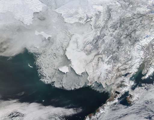
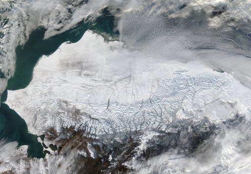
Snow in northern Alaska
From the collection of NASA Image and Video Library. Free to download, adapt and use — no permission needed.
About this work
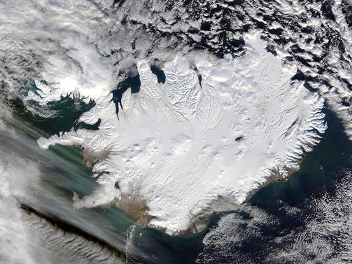
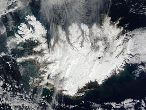
As autumn colors moved across much of the lower forty-eight states in mid-October 2015, winter weather had already arrived in Alaska. The Moderate Resolution Imaging Spectroradiometer (MODIS) aboard NASA’s Terra satellite captured this true-color image of the icy scene on October 16 as it passed over the region. Point Barrow, the northern-most location in the United States sits between the Chukchi Sea (west) and the Beaufort Sea on the east.
NASA Image and Video Library’s own descriptionCredit lineSnow in northern Alaska. NASA/GSFC, 2017-12-08. Public domain. ID: GSFC_20171208_Archive_e000521.