Public domain
NASA Sees Hurricane Olaf Move into Central Pacific Ocean
From the collection of NASA Image and Video Library. Free to download, adapt and use — no permission needed.
About this work
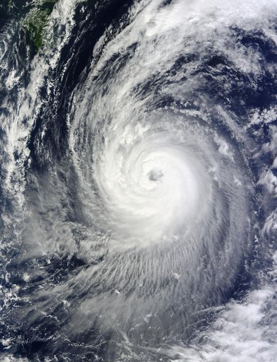
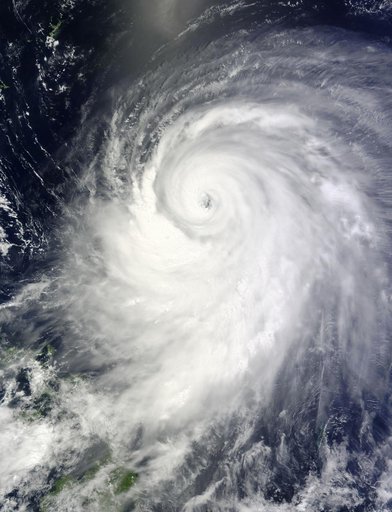
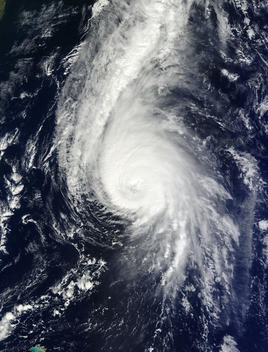
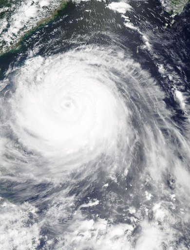
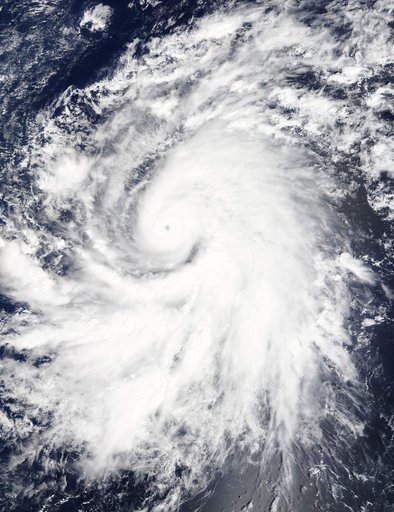
On Oct. 19 at 19:35 UTC (3:35 p.m. EDT) the MODIS instrument aboard NASA's Terra satellite saw Hurricane Olaf moving into the central Pacific Ocean with a visible eye. Powerful thunderstorms circled the eye and extended in a thick band in the eastern quadrant from north to south. At 5 a.m. EDT (0900 UTC) on Oct. 20, Hurricane Olaf's center was located near latitude 10.3 north and longitude 140.4 west. That's about 1,175 miles (1,890 km) east-southeast of Hilo, Hawaii.
NASA Image and Video Library’s own descriptionCredit lineNASA Sees Hurricane Olaf Move into Central Pacific Ocean. NASA/GSFC, 2017-12-08. Public domain. ID: GSFC_20171208_Archive_e000534.