Public domain
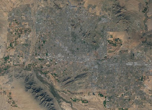
NASA Satellite Captures Super Bowl Cities - Phoenix
From the collection of NASA Image and Video Library. Free to download, adapt and use — no permission needed.
About this work
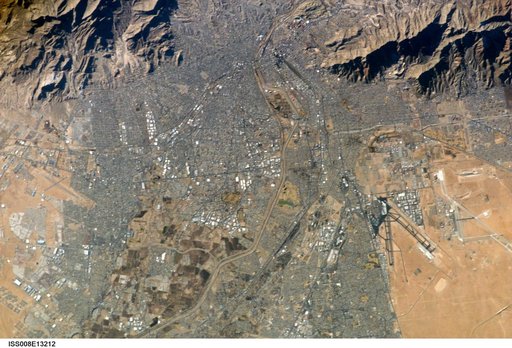
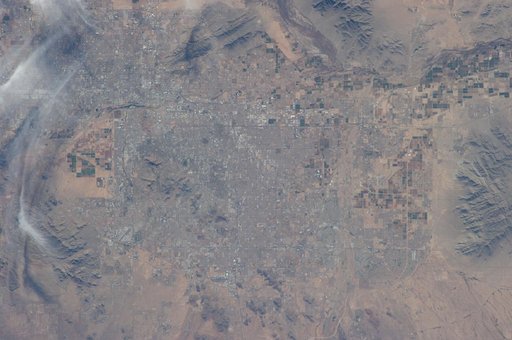
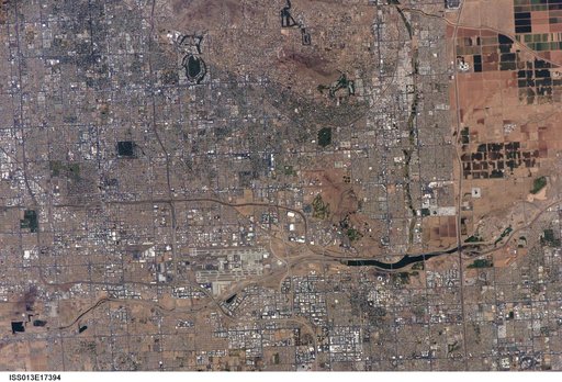
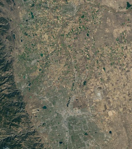
Landsat 7 image of Phoenix, Arizona acquired November 28, 2014. Landsat 7 is a U.S. satellite used to acquire remotely sensed images of the Earth's land surface and surrounding coastal regions. It is maintained by the Landsat 7 Project Science Office at the NASA Goddard Space Flight Center in Greenbelt, MD. Landsat satellites have been acquiring images of the Earth’s land surface since 1972.
NASA Image and Video Library’s own descriptionCredit lineNASA Satellite Captures Super Bowl Cities - Phoenix. NASA/GSFC, 2017-12-08. Public domain. ID: GSFC_20171208_Archive_e000802.