Public domain
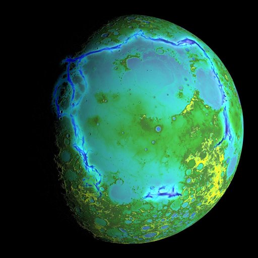
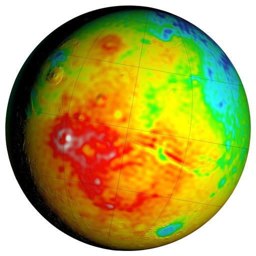
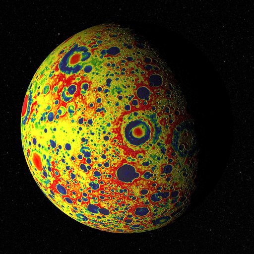
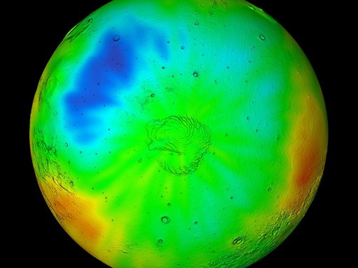
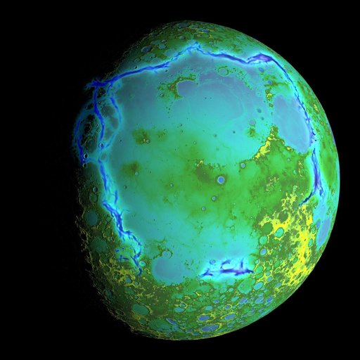
Topography of Earth's moon
From the collection of NASA Image and Video Library. Free to download, adapt and use — no permission needed.
About this work
Topography of Earth's moon generated from data collected by the Lunar Orbiter Laser Altimeter, aboard NASA's Lunar Reconnaissance Orbiter, with the gravity anomalies bordering the Procellarum region superimposed in blue. The border structures are shown using gravity gradients calculated with data from NASA's Gravity Recovery and Interior Laboratory (GRAIL) mission.
NASA Image and Video Library’s own descriptionCredit lineTopography of Earth's moon. NASA/GSFC, 2017-12-08. Public domain. ID: GSFC_20171208_Archive_e000954.