Public domain
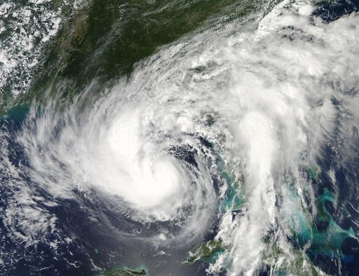
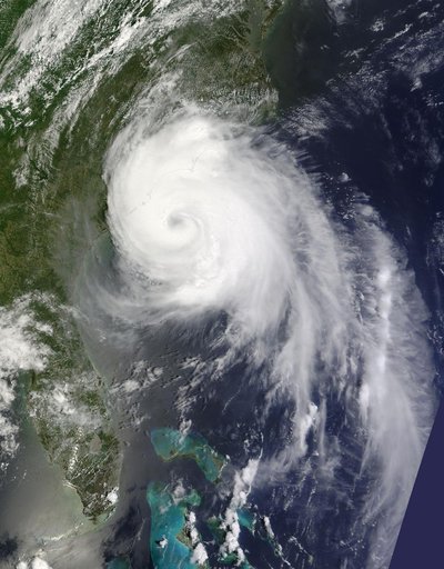
Hurricane Arthur off the Carolinas
From the collection of NASA Image and Video Library. Free to download, adapt and use — no permission needed.
About this work
Captured on Friday, July 3, 2014 at 12:20 PM EDT. The National Hurricane Center in Miami says Arthur is centered about 260 miles southwest of Cape Hatteras, North Carolina, and about 110 miles south-southwest of Cape Fear. It's moving north at 14 mph. Satellite: Terra Credit: NASA/GSFC/Jeff Schmaltz/MODIS Land Rapid Response Team <b><a href="http://www.nasa.gov/audience/formedia/features/MP_Photo_Guidelines.html" rel="nofollow">NASA image use policy.</a></b> <b><a href="http://www.nasa.
NASA Image and Video Library’s own descriptionCredit lineHurricane Arthur off the Carolinas. NASA/GSFC, 2017-12-08. Public domain. ID: GSFC_20171208_Archive_e001042.