Public domain
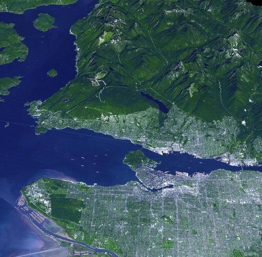
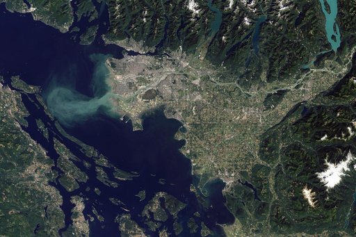
Vancouver, Canada 2010
From the collection of NASA Image and Video Library. Free to download, adapt and use — no permission needed.
About this work
The Thematic Mapper on the Landsat 5 satellite captured this image of Vancouver on September 7, 2011. Flowing through braided channels, the Fraser River meanders toward the sea, emptying through multiple outlets. Moe info: <a href="http://earthobservatory.nasa.gov/IOTD/view.php?id=77368" rel="nofollow">earthobservatory.nasa.gov/IOTD/view.php?id=77368</a> NASA Earth Observatory image created by Robert Simmon and Jesse Allen, using Landsat data provided by the United States Geological Survey.
NASA Image and Video Library’s own descriptionSubjects
Credit lineVancouver, Canada 2010. NASA/GSFC, 2017-12-08. Public domain. ID: GSFC_20171208_Archive_e001239.