Public domain
Mile Marker 28 Fire
From the collection of NASA Image and Video Library. Free to download, adapt and use — no permission needed.
About this work
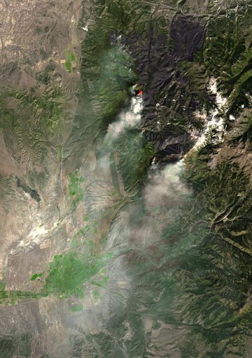
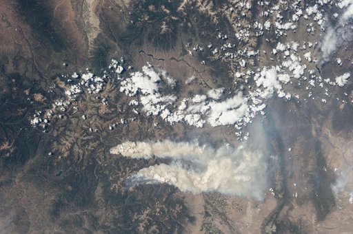
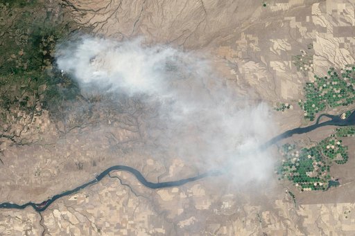
Eight major wildfires burned through forests and grasslands in the Pacific Northwest in late-July 2013, threatening homes and forcing road closings and evacuations. Many parts of Washington and Oregon faced extreme fire threats, as strong thunderstorms lined up to hit parched forests and grasslands with lightning. On July 28, 2013, the Operational Land Imager (OLI) on Landsat 8 captured these images of the Mile Marker 28 fire in the Simcoe Mountains northeast of Goldendale, Washington.
NASA Image and Video Library’s own descriptionCredit lineMile Marker 28 Fire. NASA/GSFC, 2017-12-08. Public domain. ID: GSFC_20171208_Archive_e001423.