Public domain
Mapping an Ice Station
From the collection of NASA Image and Video Library. Free to download, adapt and use — no permission needed.
About this work
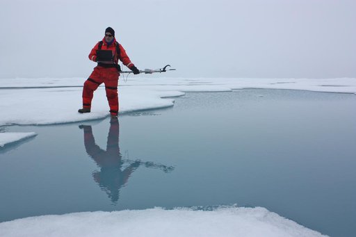
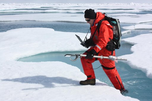
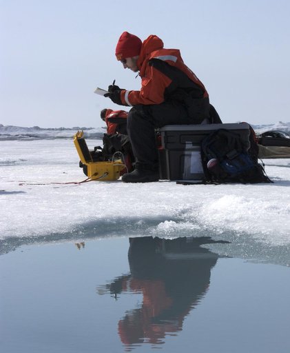
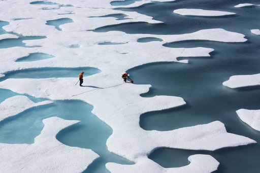
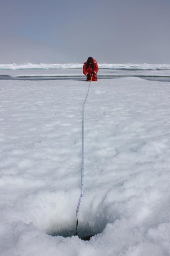
On July 10, 2011, Melinda Webster of University of Washington mapped the locations where measurements were collected during the 2011 ICESCAPE mission's fourth sea ice station in the Chukchi Sea. The ICESCAPE mission, or "Impacts of Climate on Ecosystems and Chemistry of the Arctic Pacific Environment," is a NASA shipborne investigation to study how changing conditions in the Arctic affect the ocean's chemistry and ecosystems.
NASA Image and Video Library’s own descriptionCredit lineMapping an Ice Station. NASA/GSFC, 2017-12-08. Public domain. ID: GSFC_20171208_Archive_e001719.