Public domain
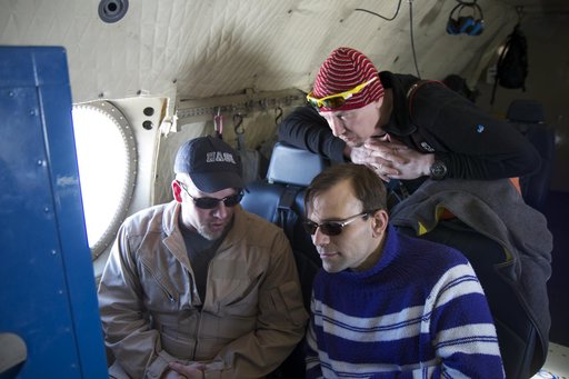
teachers DMS 4 14 1156
From the collection of NASA Image and Video Library. Free to download, adapt and use — no permission needed.
About this work
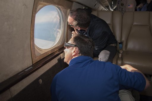
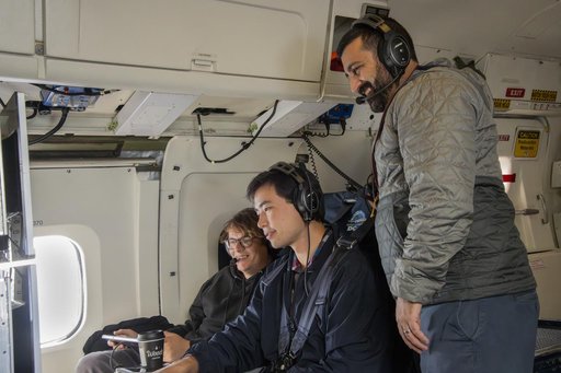
James Jacobson, a Data Analyst based out of Ames Research Center, explains his Digital Mapping System instrument to two teachers flying with Operation IceBridge, (top to bottom) Tom Koch Svennesen, of Greenland, and Peter Gross, of Denmark, on April 14, 2012. Credit: NASA/Jefferson Beck ============= IceBridge, a six-year NASA mission, is the largest airborne survey of Earth's polar ice ever flown.
NASA Image and Video Library’s own descriptionCredit lineteachers DMS 4 14 1156. NASA/GSFC, 2017-12-08. Public domain. ID: GSFC_20171208_Archive_e001749.
Similar works
 Expedition 20 Landing
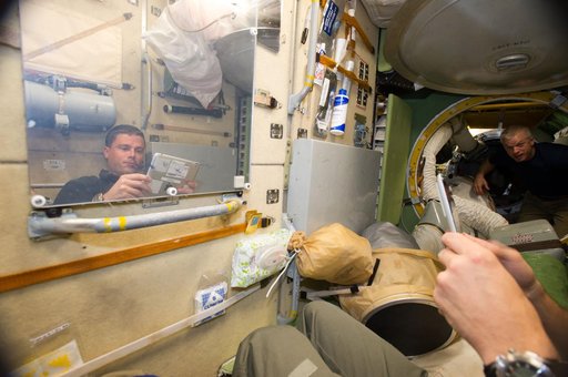 Wiseman and Swanson in Russian segment
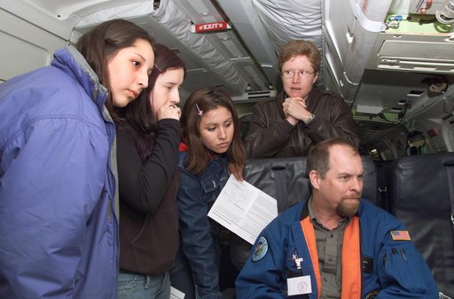 JPL scientist Dr. David Imel and U.S. Air Force Colonel Gwen Linde lead Chilean students on a tour of the DC-8 aircraft in Punta Arenas, Chile
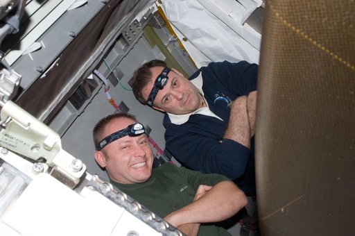 View of STS-134 MS Fincke and Expedition 28 FE Garan posing for a photo during Joint Operations
 2017 Total Solar Eclipse
 NASA’s DC-8 aircraft tracks fuel in ecoDemonstrator 2023 project with Boeing, partners