Public domain
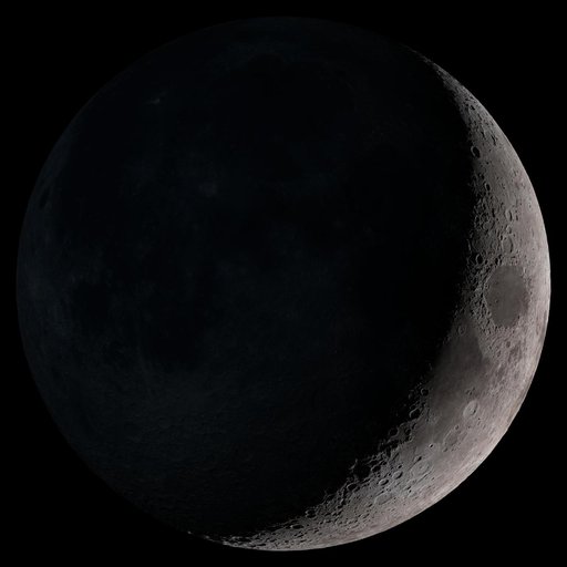
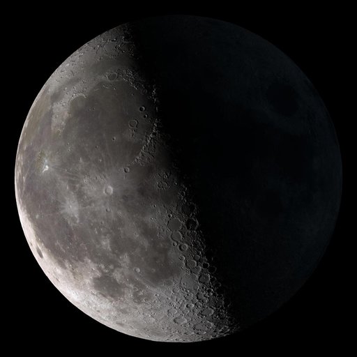
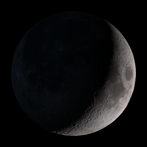
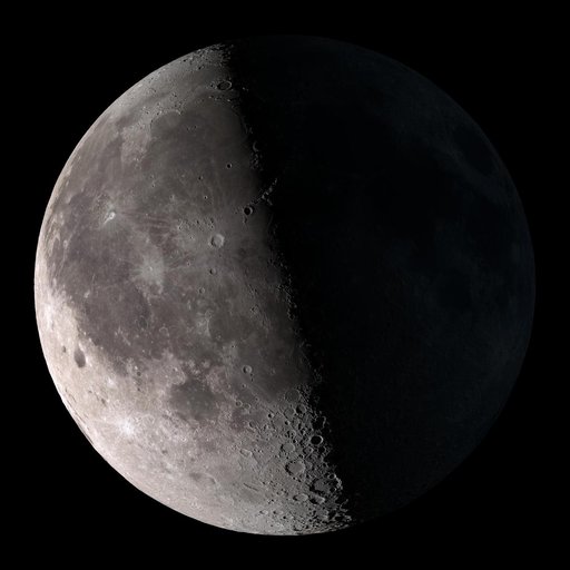
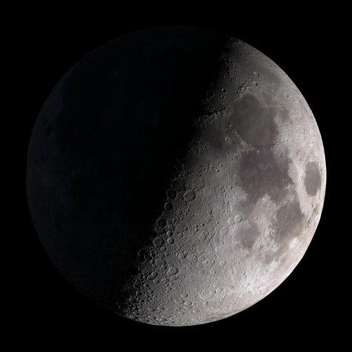
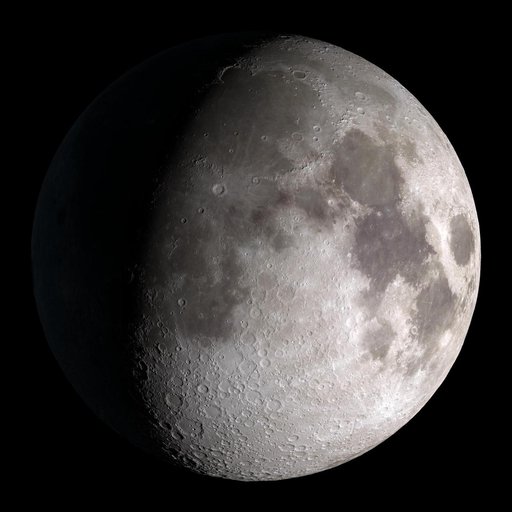
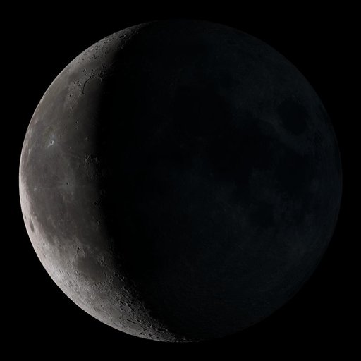
Waning Crescent
From the collection of NASA Image and Video Library. Free to download, adapt and use — no permission needed.
About this work
Waning crescent. Low to the east before sunrise. This marks the first time that accurate shadows at this level of detail are possible in such a computer simulation. The shadows are based on the global elevation map being developed from measurements by the Lunar Orbiter Laser Altimeter (LOLA) aboard the Lunar Reconnaissance Orbiter (LRO). LOLA has already taken more than 10 times as many elevation measurements as all previous missions combined.
NASA Image and Video Library’s own descriptionCredit lineWaning Crescent. NASA/GSFC, 2017-12-08. Public domain. ID: GSFC_20171208_Archive_e001858.