Public domain
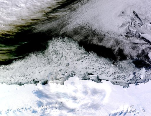
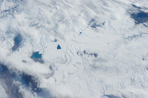
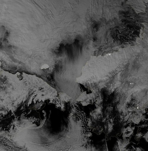
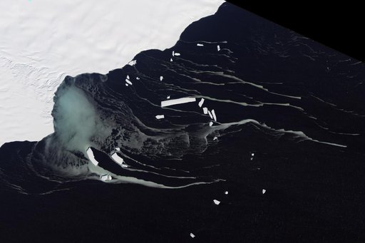
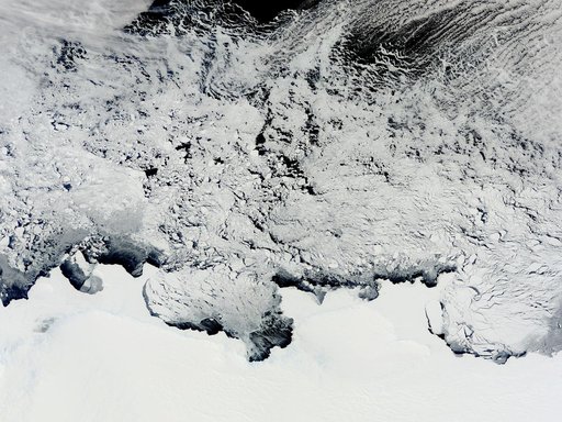
NASA Satellite View of Antarctica
From the collection of NASA Image and Video Library. Free to download, adapt and use — no permission needed.
About this work
NASA image acquired November 2, 2011 The Moderate Resolution Imaging Spectroradiometer (MODIS) instrument on NASA's Terra satellite captured this image of the Knox, Budd Law Dome, and Sabrina Coasts, Antarctica on November 2, 2011 at 01:40 UTC (Nov. 1 at 9:40 p.m. EDT). Operation Ice Bridge is exploring Antarctic ice, and more information can be found at <a href="http://www.nasa.gov/icebridge" rel="nofollow">www.nasa.gov/icebridge</a>.
NASA Image and Video Library’s own descriptionCredit lineNASA Satellite View of Antarctica. NASA/GSFC, 2017-12-08. Public domain. ID: GSFC_20171208_Archive_e001866.