Public domain
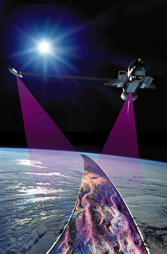
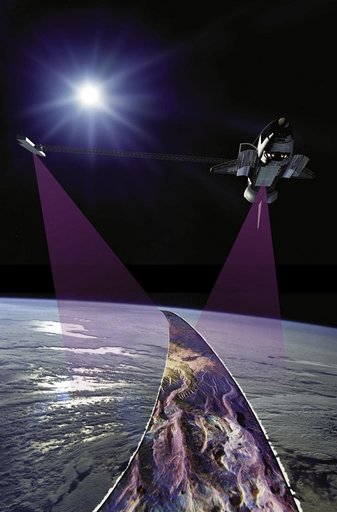
Graphic representation of STS-99 Endeavour during SRTM
From the collection of NASA Image and Video Library. Free to download, adapt and use — no permission needed.
About this work
JSC2000E01556 (January 2000) --- With its C-band and X-band outboard antennae at work, the Earth-orbiting Space Shuttle Endeavour maps topography of Earth, some 145 miles (233 kilometers) below. SRTM radar, with its long wavelength, will be able to penetrate clouds as well as providing its own illumination, making it independent of daylight. (Note: A combination of art, radar imagery and Earth-orbital imagery from past NASA missions was used to create this scene)
NASA Image and Video Library’s own descriptionCredit lineGraphic representation of STS-99 Endeavour during SRTM. NASA/JSC, 2000-02-04. Public domain. ID: JSC2000e01556.