Public domain
KSC-2015-1230
From the collection of NASA Image and Video Library. Free to download, adapt and use — no permission needed.
About this work
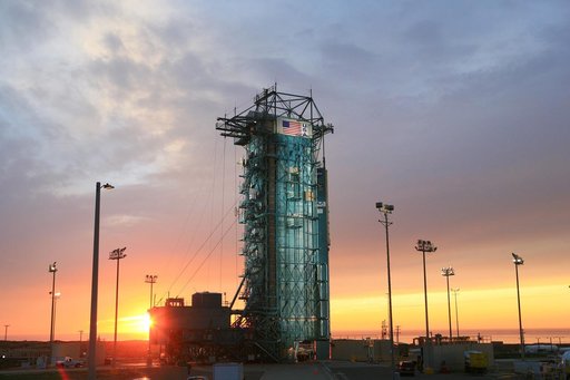
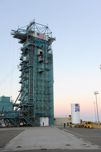
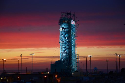
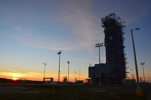
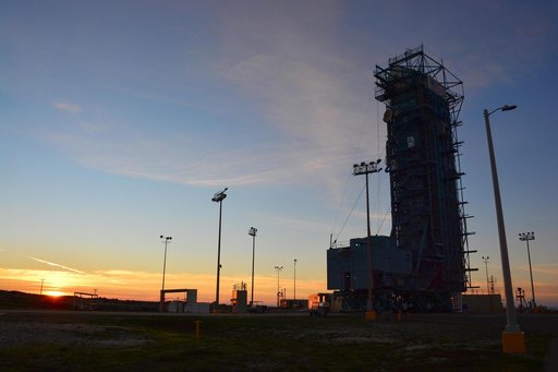
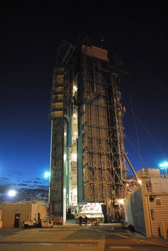
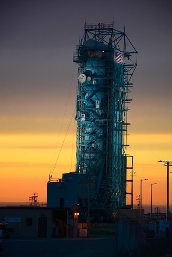
VANDENBERG AIR FORCE BASE, Calif. – The sun sets over the West Cost prior to the launch gantry being rolled back to reveal the United Launch Alliance Delta II rocket with the Soil Moisture Active Passive, or SMAP, satellite aboard, at the Space Launch Complex 2 at Vandenberg Air Force Base, California. SMAP is a remote sensing mission designed to measure and map the Earth's soil moisture distribution and freeze/thaw stat with unprecedented accuracy, resolution and coverage.
NASA Image and Video Library’s own descriptionSubjects
Credit lineKSC-2015-1230. NASA/KSC, 2015-01-28. Public domain. ID: KSC-2015-1230.