Public domain
KSC00vafbdig002
From the collection of NASA Image and Video Library. Free to download, adapt and use — no permission needed.
About this work
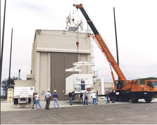
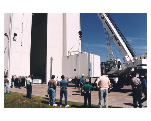
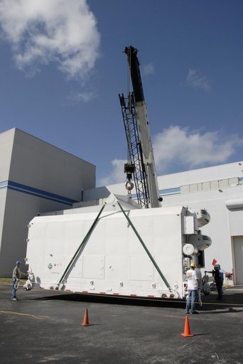
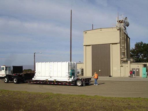
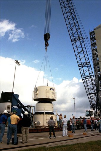
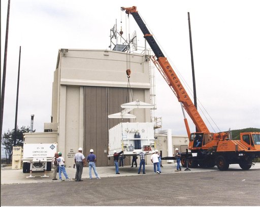
Outside the B16-10 spacecraft processing hangar at Vandenberg Air Force Base, Calif., a crated National Oceanic and Atmospheric Administration (NOAA-L) satellite is lowered to the ground before being moved inside. NOAA-L is part of the Polar-Orbiting Operational Environmental Satellite (POES) program that provides atmospheric measurements of temperature, humidity, ozone and cloud images, tracking weather patterns that affect the global weather and climate.
NASA Image and Video Library’s own descriptionCredit lineKSC00vafbdig002. NASA/KSC, 2000-06-27. Public domain. ID: KSC00vafbdig002.