Public domain
KSC01pp0797
From the collection of NASA Image and Video Library. Free to download, adapt and use — no permission needed.
About this work
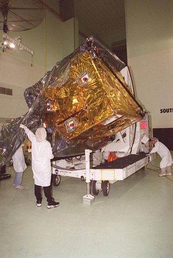
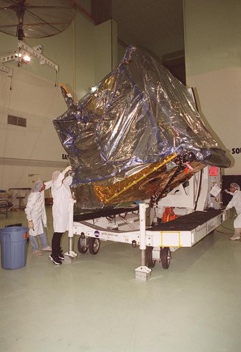
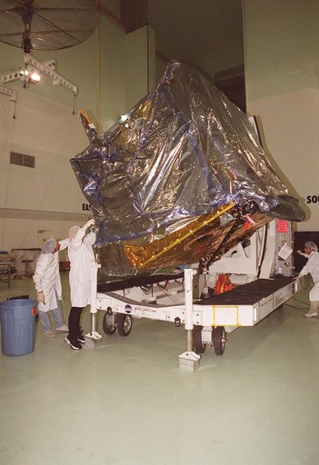
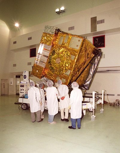
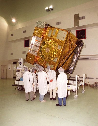
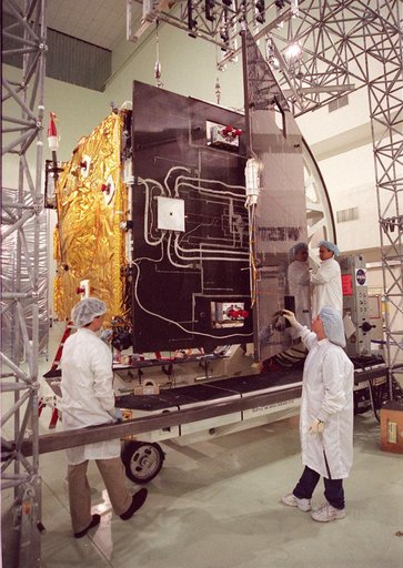
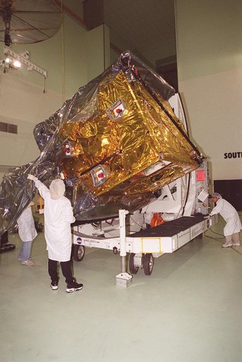
At Astrotech, Titusville, Fla., the GOES-M (Geostationary Operational Environmental Satellite) satellite is tilted on a workstand so that workers can remove the rest of the protective cover. The GOES-M provides weather imagery and quantitative sounding data used to support weather forecasting, severe storm tracking and meteorological research.
NASA Image and Video Library’s own descriptionCredit lineKSC01pp0797. NASA/KSC, 2001-04-12. Public domain. ID: KSC01pp0797.