Public domain
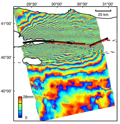
Izmit, Turkey 1999 Earthquake Interferogram
From the collection of NASA Image and Video Library. Free to download, adapt and use — no permission needed.
About this work
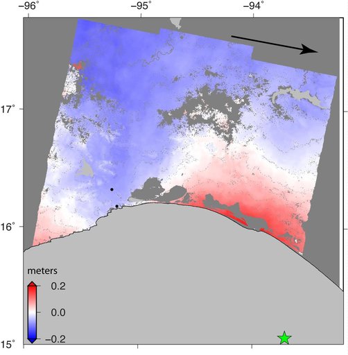
This image is an interferogram that was created using pairs of images taken by Synthetic Aperture Radar (SAR). The images, acquired at two different times, have been combined to measure surface deformation or changes that may have occurred during the time between data acquisition.
NASA Image and Video Library’s own descriptionSubjects
Credit lineIzmit, Turkey 1999 Earthquake Interferogram. NASA/JPL, 2001-03-30. Public domain. ID: PIA00557.