Public domain
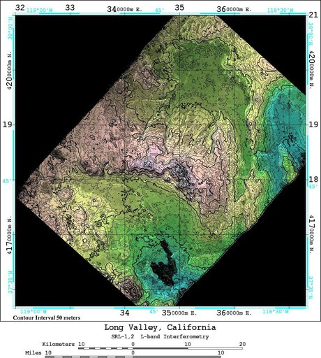
space Radar Image of Long Valley, California
From the collection of NASA Image and Video Library. Free to download, adapt and use — no permission needed.
About this work
An area near Long Valley, California, was mapped by the Spaceborne Imaging Radar-C and X-band Synthetic Aperture Radar aboard the space shuttle Endeavor on April 13, 1994, during the first flight of the radar instrument, and on October 4, 1994, during the second flight of the radar instrument.
NASA Image and Video Library’s own descriptionSubjects
Credit linespace Radar Image of Long Valley, California. NASA/JPL, 1999-05-01. Public domain. ID: PIA01749.
Similar works
 Southern California Shaded Relief, Color as Height
 Mississippi Delta, Radar Image with Colored Height
 Delta-X Oil Slick Radar Signal in Gulf of Mexico
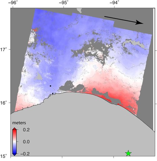 Sentinel-1 Radar Shows Ground Motion From Sept. 2017 Oaxaca-Chiapas, Mexico Quake
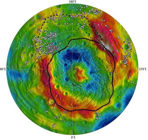 Distribution of Vesta Dark Materials, Southern View
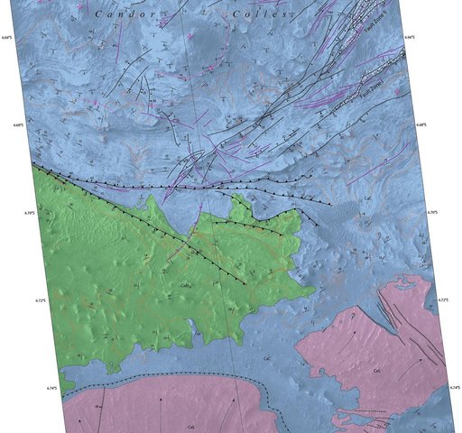 Geological Mapping of Hills in Martian Canyon