Public domain
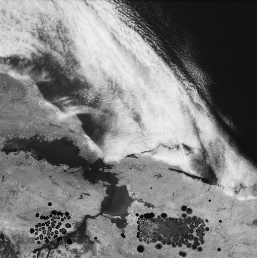
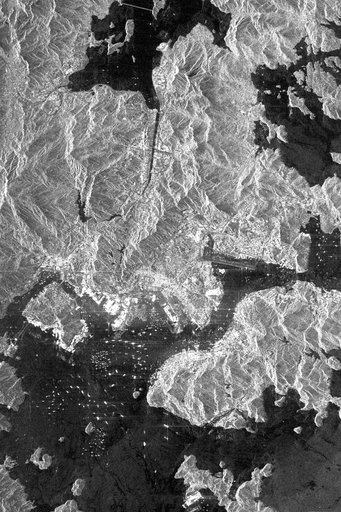
Space Radar Image of Hong Kong, China
From the collection of NASA Image and Video Library. Free to download, adapt and use — no permission needed.
About this work
This is an X-SAR image spanning an area of approximately 20 kilometers by 40 kilometers (12 miles by 25 miles) of the island of Hong Kong, the Kowloon Peninsula and the new territories in southern China, taken by the imaging radar on board the space shuttle Endeavour on October 4, 1994. North is toward the top left corner of the image.
NASA Image and Video Library’s own descriptionSubjects
Credit lineSpace Radar Image of Hong Kong, China. NASA/JPL, 1999-05-01. Public domain. ID: PIA01750.