Public domain
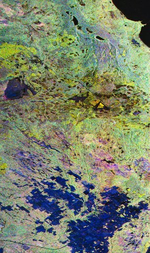
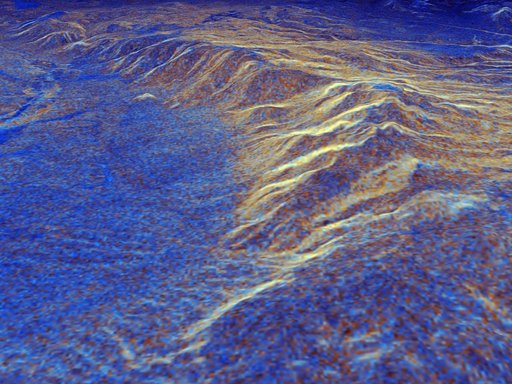
Space Radar Image of Long Valley, California - 3-D view
From the collection of NASA Image and Video Library. Free to download, adapt and use — no permission needed.
About this work
This is a three-dimensional perspective view of Long Valley, California by the Spaceborne Imaging Radar-C/X-band Synthetic Aperture Radar on board the space shuttle Endeavour. This view was constructed by overlaying a color composite SIR-C image on a digital elevation map. The digital elevation map was produced using radar interferometry, a process by which radar data are acquired on different passes of the space shuttle and, which then, are compared to obtain elevation information.
NASA Image and Video Library’s own descriptionSubjects
Credit lineSpace Radar Image of Long Valley, California - 3-D view. NASA/JPL, 1999-05-01. Public domain. ID: PIA01757.