Public domain
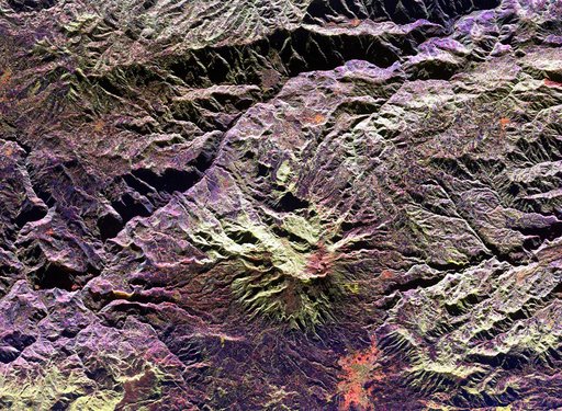
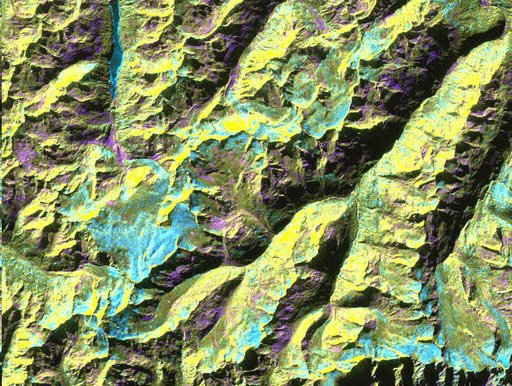
Space Radar Image of Oetzal, Austria
From the collection of NASA Image and Video Library. Free to download, adapt and use — no permission needed.
About this work
This is a digital elevation model that was geometrically coded directly onto an X-band seasonal change image of the Oetztal supersite in Austria. The image is centered at 46.82 degrees north latitude and 10.79 degrees east longitude. This image is located in the Central Alps at the border between Switzerland, Italy and Austria, 50 kilometers (31 miles) southwest of Innsbruck.
NASA Image and Video Library’s own descriptionSubjects
Credit lineSpace Radar Image of Oetzal, Austria. NASA/JPL, 1999-05-01. Public domain. ID: PIA01760.