Public domain
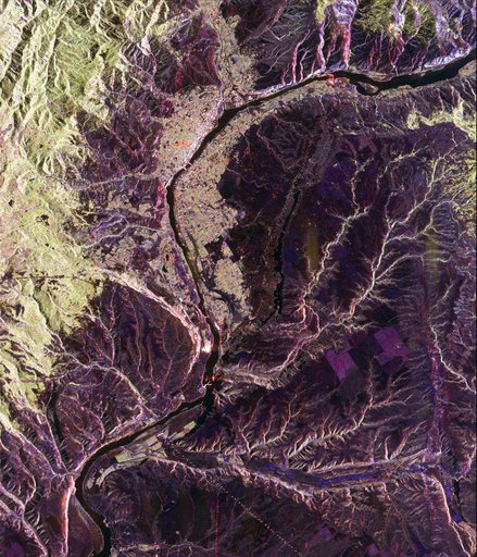
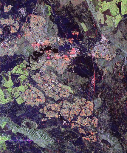
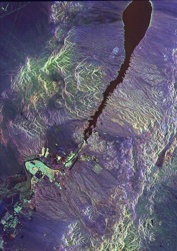
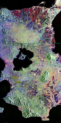
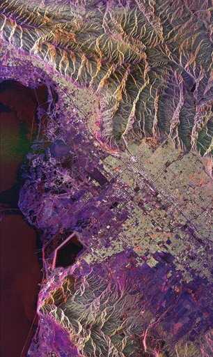
Space Radar Image of Salt Lake City, Utah
From the collection of NASA Image and Video Library. Free to download, adapt and use — no permission needed.
About this work
This radar image of Salt Lake City, Utah, illustrates the different land use patterns that are present in the Utah Valley. Salt Lake City lies between the shores of the Great Salt Lake (the dark area on the left side of the image) and the Wasatch Front Range (the mountains in the upper half of the image). The Salt Lake City area is of great interest to urban planners because of the combination of lake, valley and alpine environments that coexist in the region.
NASA Image and Video Library’s own descriptionSubjects
Credit lineSpace Radar Image of Salt Lake City, Utah. NASA/JPL, 1999-04-15. Public domain. ID: PIA01798.