Public domain
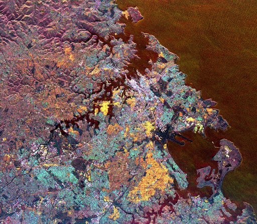
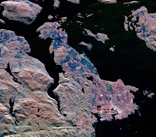
Space Radar Image of Victoria, Canada
From the collection of NASA Image and Video Library. Free to download, adapt and use — no permission needed.
About this work
This three-frequency spaceborne radar image shows the southern end of Vancouver Island on the west coast of Canada. The white area in the lower right is the city of Victoria, the capital of the province of British Columbia.
NASA Image and Video Library’s own descriptionSubjects
Credit lineSpace Radar Image of Victoria, Canada. NASA/JPL, 1999-04-15. Public domain. ID: PIA01830.