Public domain
SeaWinds - Oceans, Land, Polar Regions
From the collection of NASA Image and Video Library. Free to download, adapt and use — no permission needed.
About this work
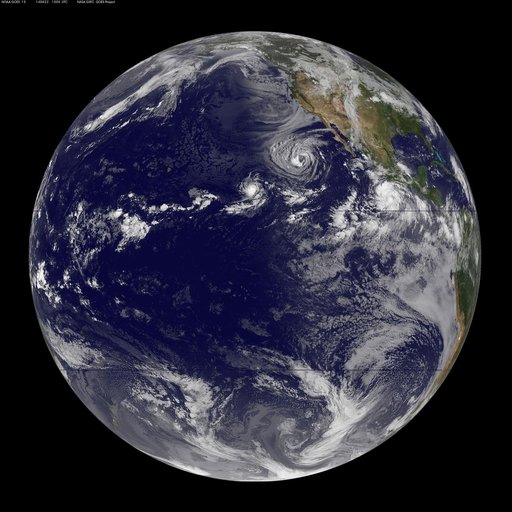
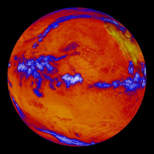
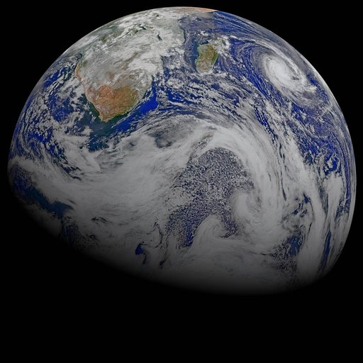
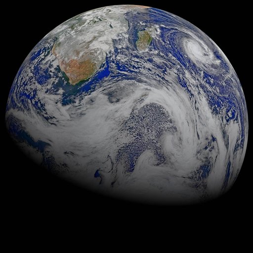
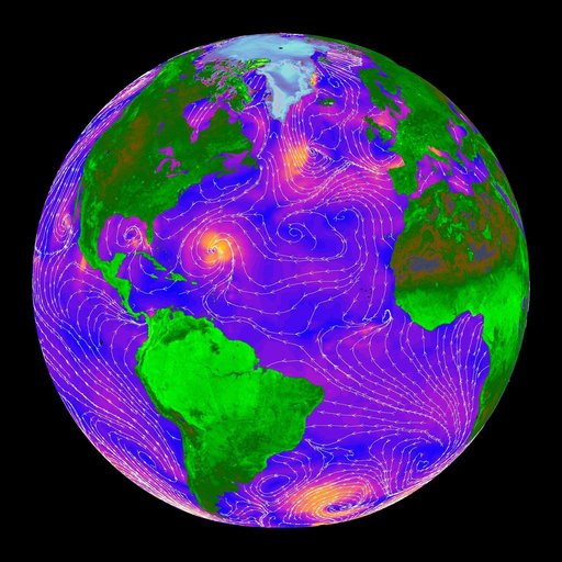
The SeaWinds scatterometer on NASA QuikScat satellite makes global radar measurements day and night, in clear sky and through clouds. Greenland and the polar ice cap are shown here on September 20, 1999.
NASA Image and Video Library’s own descriptionCredit lineSeaWinds - Oceans, Land, Polar Regions. NASA/JPL, 2000-05-08. Public domain. ID: PIA02458.