Public domain
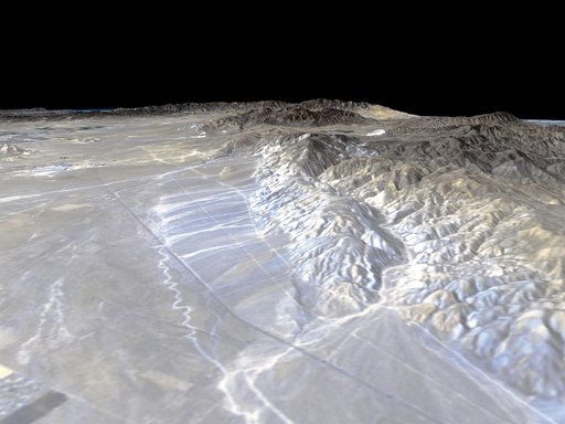
Perspective View, Garlock Fault
From the collection of NASA Image and Video Library. Free to download, adapt and use — no permission needed.
About this work
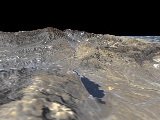
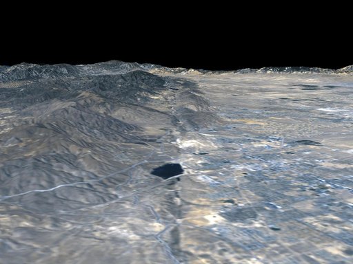
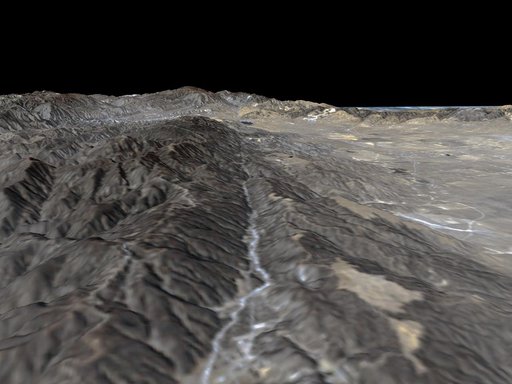
California Garlock Fault, marking the northwestern boundary of the Mojave Desert, lies at the foot of the mountains, running from the lower right to the top center of this image, which was created with data from NASA shuttle Radar Topography Mission.
NASA Image and Video Library’s own descriptionSubjects
Credit linePerspective View, Garlock Fault. NASA/JPL, 2000-04-20. Public domain. ID: PIA02747.