Public domain
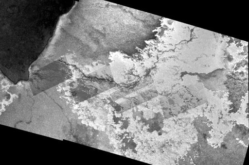
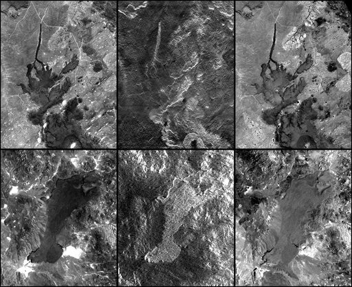
SRTM Radar - Landsat Image Comparison, Patagonia, Argentina
From the collection of NASA Image and Video Library. Free to download, adapt and use — no permission needed.
About this work
In addition to an elevation model of most of Earth landmass, NASA Shuttle Radar Topography Mission will produce C-band radar imagery of the same area.
NASA Image and Video Library’s own descriptionSubjects
Credit lineSRTM Radar - Landsat Image Comparison, Patagonia, Argentina. NASA/JPL, 2000-08-17. Public domain. ID: PIA02770.