Public domain
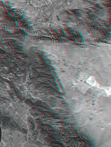
SRTM Anaglyph with Landsat Overlay: Los Angeles to San Joaquin Valley, California
From the collection of NASA Image and Video Library. Free to download, adapt and use — no permission needed.
About this work
This anaglyph, from NASA Shuttle Radar Topography Mission, shows rugged terrain between Los Angeles and California central valley. 3D glasses are necessary to view this image.
NASA Image and Video Library’s own descriptionSubjects
Credit lineSRTM Anaglyph with Landsat Overlay: Los Angeles to San Joaquin Valley, California. NASA/JPL, 2000-09-21. Public domain. ID: PIA02777.
Similar works
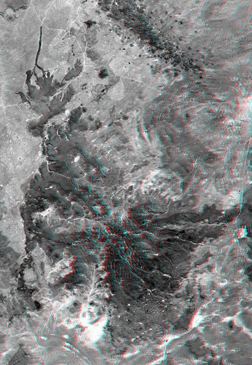 Anaglyph, Patagonia, Argentina
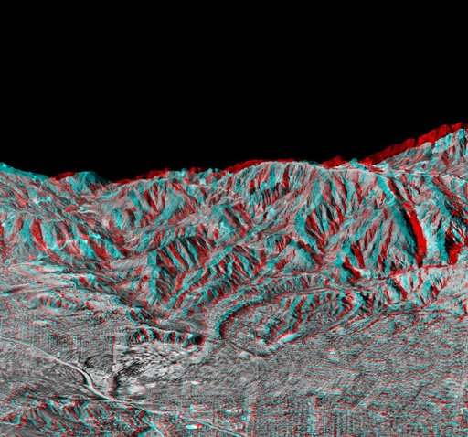 Anaglyph of Perspective View with Aerial Photo Overlay Pasadena, California
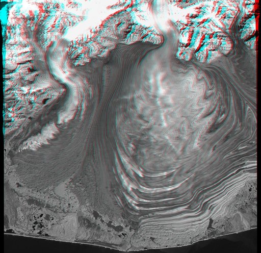 Malaspina Glacier, Alaska, Anaglyph with Landsat Overlay
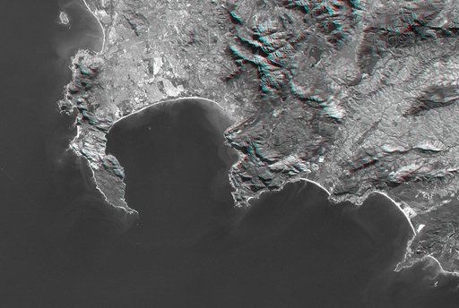 Cape Town, South Africa, Anaglyph, Landsat Image over SRTM Elevation
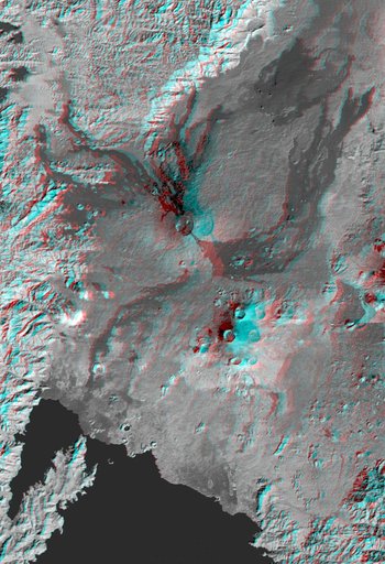 Nyiragongo volcano, Congo, Anaglyph, SRTM / Landsat
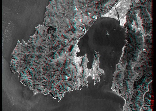 Anaglyph, Landsat Overlay: Wellington, New Zealand