Public domain
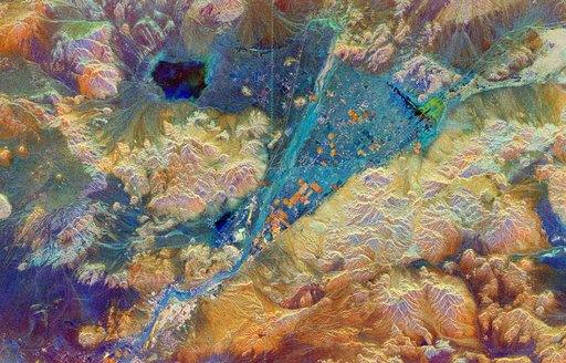
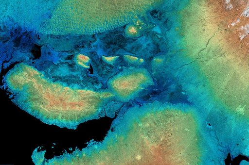
SRTM Radar Image with Color as Height: Kachchh, Gujarat, India
From the collection of NASA Image and Video Library. Free to download, adapt and use — no permission needed.
About this work
This image shows the area around the January 26, 2001, earthquake in western India, the deadliest in the country history with some 20,000 fatalities. The epicenter of the magnitude 7.6 earthquake was just to the left of the center of the image.
NASA Image and Video Library’s own descriptionSubjects
Credit lineSRTM Radar Image with Color as Height: Kachchh, Gujarat, India. NASA/JPL, 2001-04-05. Public domain. ID: PIA02799.