Public domain
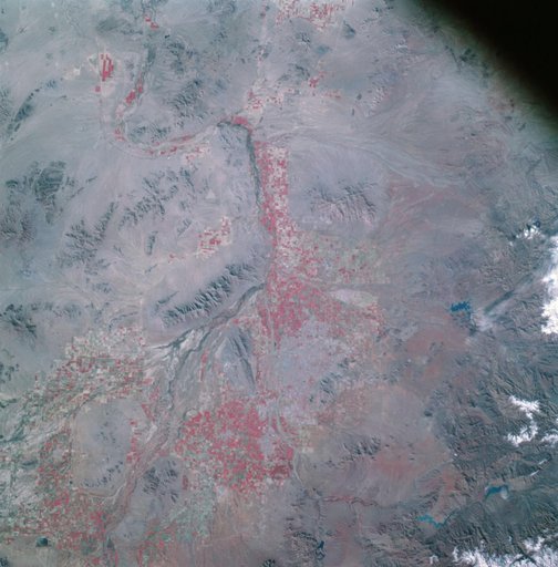
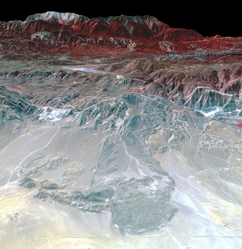
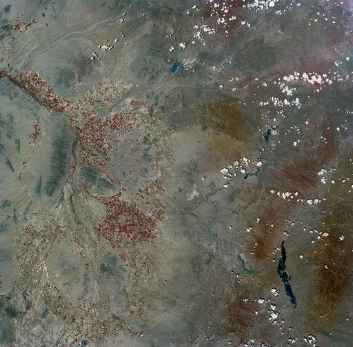
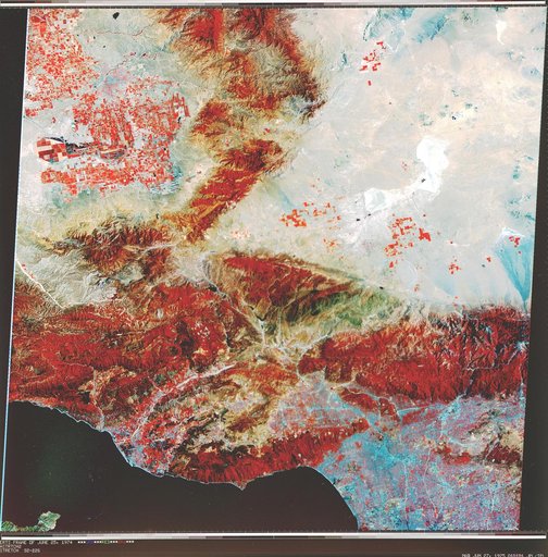
Early Landsat View of Los Angeles and Vicinity
From the collection of NASA Image and Video Library. Free to download, adapt and use — no permission needed.
About this work
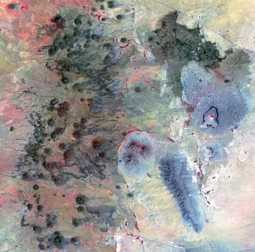
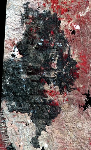
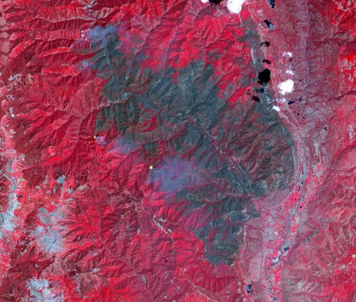
NASA Landsat 1 originally named the Earth Resources Technology Satellite, or ERTS was the first of what was to become a series of satellites designed to map and monitor the Earth land surfaces.
NASA Image and Video Library’s own descriptionCredit lineEarly Landsat View of Los Angeles and Vicinity. NASA/JPL, 2000-11-04. Public domain. ID: PIA02988.