Public domain
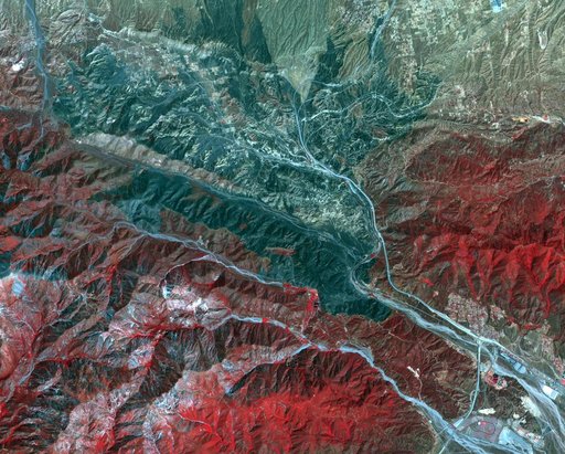
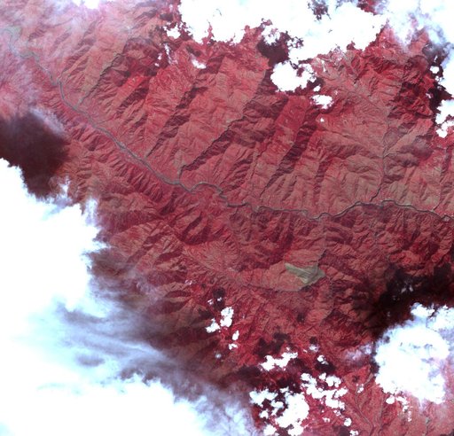
Landslide in Kashmir
From the collection of NASA Image and Video Library. Free to download, adapt and use — no permission needed.
About this work
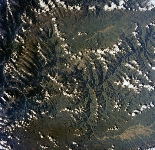
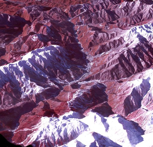
This image acquired by NASA Terra spacecraft on Oct. 11, 2005, depicts a 30-kilometer 19-mile wide region southeast of the epicenter of the magnitude 7.6 Pakistan earthquake, between Muzaffarabad and Uri in the Pir Punjal range of Kashmir.
NASA Image and Video Library’s own descriptionCredit lineLandslide in Kashmir. NASA/JPL, 2005-10-12. Public domain. ID: PIA03028.