Public domain
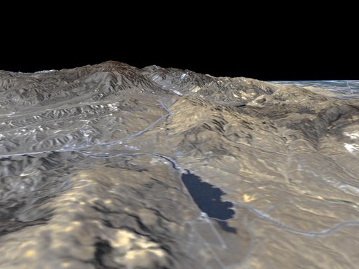
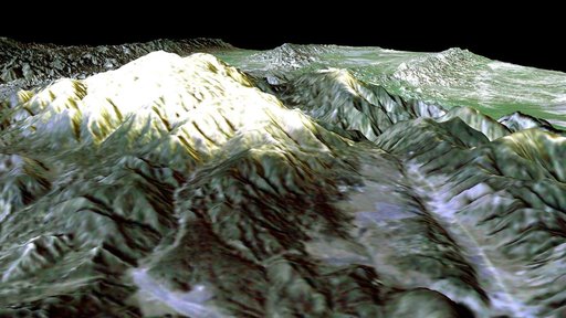
SRTM Perspective View with Landsat Overlay: Mt. Pinos, California
From the collection of NASA Image and Video Library. Free to download, adapt and use — no permission needed.
About this work
Prominently displayed in this image, Mt. Pinos, at 2,692 meters 8,831 feet is the highest peak in the Los Padres National Forest.
NASA Image and Video Library’s own descriptionSubjects
Credit lineSRTM Perspective View with Landsat Overlay: Mt. Pinos, California. NASA/JPL, 2001-05-18. Public domain. ID: PIA03305.