Public domain
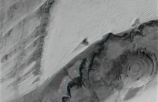
Richat Structure, Mauritania, Anaglyph, Landsat Image over SRTM Elevation
From the collection of NASA Image and Video Library. Free to download, adapt and use — no permission needed.
About this work
The prominent circular feature seen here is known as the Richat Structure, in the Sahara desert of Mauritania. This anaglyph is from NASA Shuttle Radar Topography Mission. 3D glasses are necessary to view this image.
NASA Image and Video Library’s own descriptionSubjects
Credit lineRichat Structure, Mauritania, Anaglyph, Landsat Image over SRTM Elevation. NASA/JPL, 2004-06-17. Public domain. ID: PIA04962.