Public domain
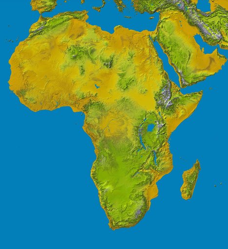
SRTM Data Release for Africa, Colored Height
From the collection of NASA Image and Video Library. Free to download, adapt and use — no permission needed.
About this work
Elevation data at the highest possible resolution from NASA SRTM mission in February 2000 are being released for the first time for most of the African continent. This color shaded relief image shows the extent of SRTM digital elevation data for Africa.
NASA Image and Video Library’s own descriptionSubjects
Credit lineSRTM Data Release for Africa, Colored Height. NASA/JPL, 2004-06-17. Public domain. ID: PIA04965.
Similar works
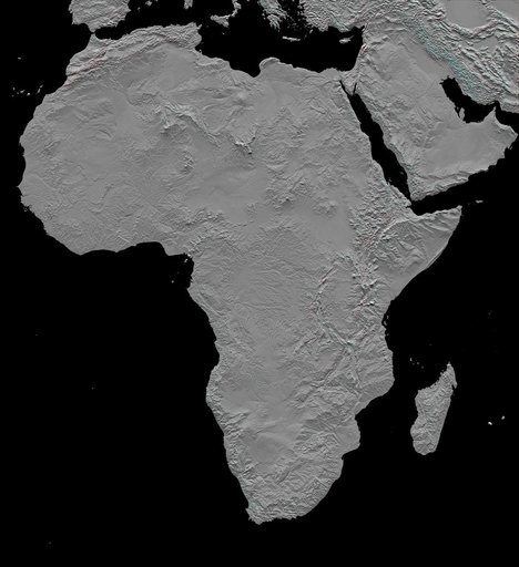 Africa in SRTM 3-D, Anaglyph of Shaded Relief
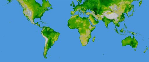 World in Mercator Projection, Shaded Relief and Colored Height
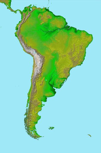 South America, Shaded Relief and Colored Height
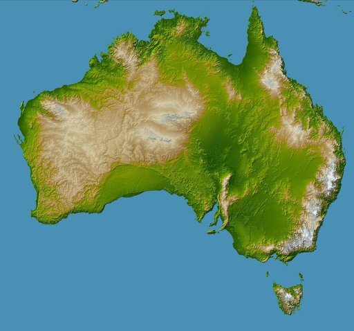 Australia, Shaded Relief and Colored Height
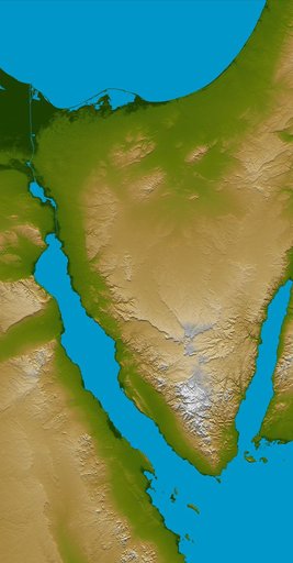 Sinai Peninsula, Shaded Relief and Colored Height
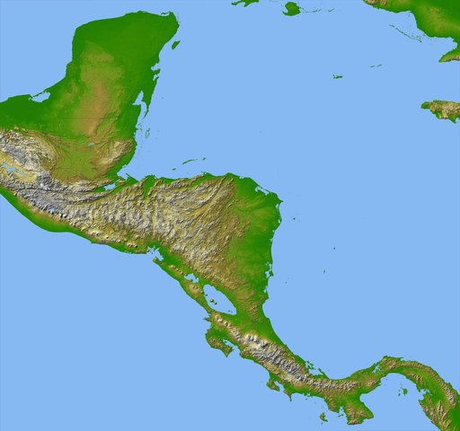 Colored Height and Shaded Relief, Central America