Public domain
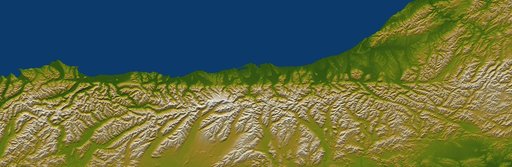
Alpine Fault, New Zealand, SRTM Shaded Relief and Colored Height
From the collection of NASA Image and Video Library. Free to download, adapt and use — no permission needed.
About this work
The Alpine fault runs parallel to, and just inland of, much of the west coast of New Zealand South Island. This view was created from the near-global digital elevation model produced by NASA Shuttle Radar Topography Mission SRTM.
NASA Image and Video Library’s own descriptionSubjects
Credit lineAlpine Fault, New Zealand, SRTM Shaded Relief and Colored Height. NASA/JPL, 2005-01-06. Public domain. ID: PIA06661.
Similar works
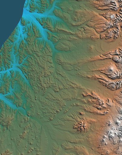 Shaded Relief, Kamchatka Peninsula, Russia
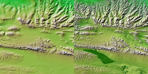 Shaded Relief with Height as Color, Kunlun fault, east-central Tibet
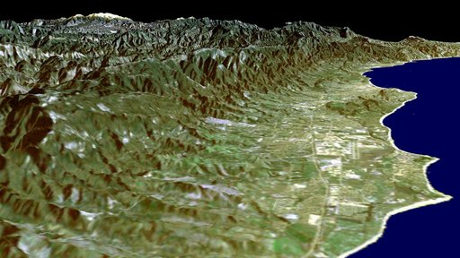 SRTM Perspective View with Landsat Overlay: Santa Barbara Coastline, California
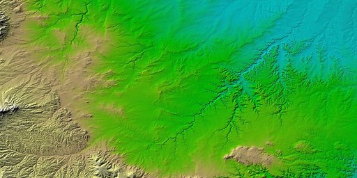 SRTM Colored Height and Shaded Relief: Piñon Canyon region, Colorado
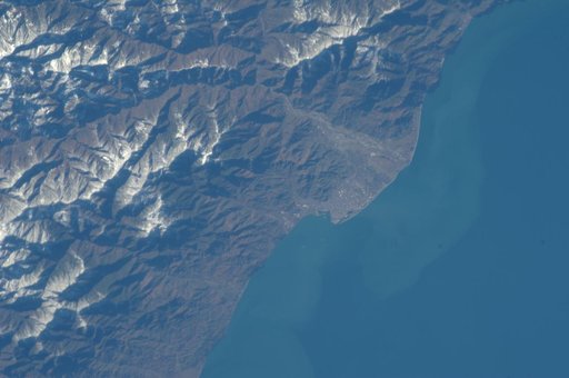 Earth Observations taken by Expedition 34 crewmember
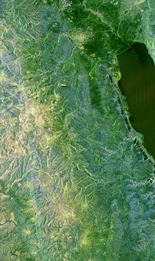 Space Radar Image of Jerusalem and the Dead Sea