Public domain
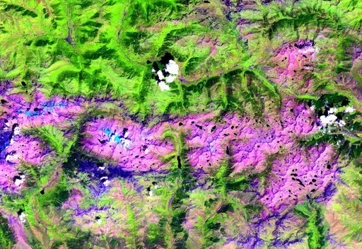
Pyrenees Mtns., Spain
From the collection of NASA Image and Video Library. Free to download, adapt and use — no permission needed.
About this work
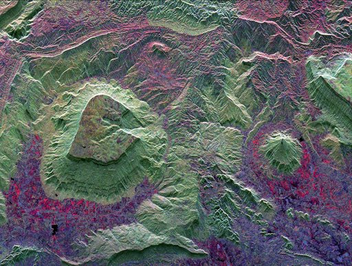
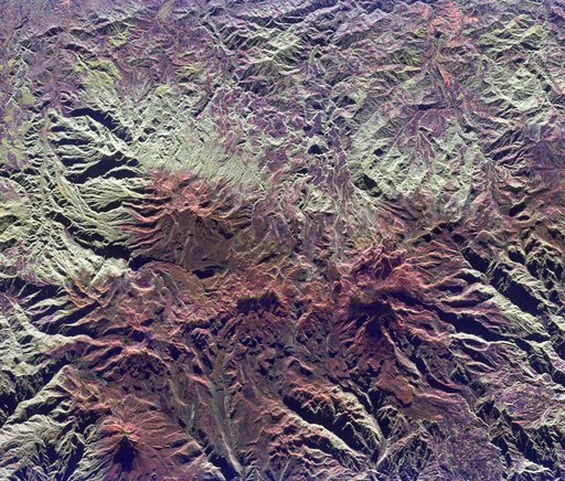
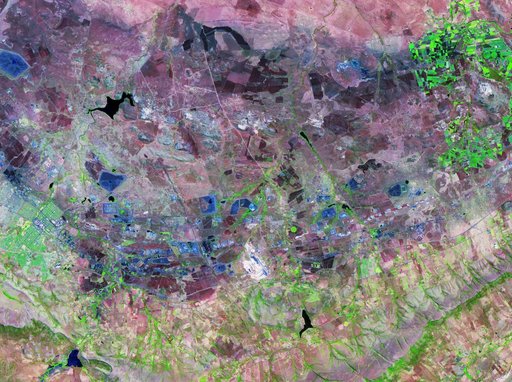
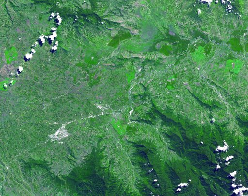
This ASTER image, acquired on August 1, 2000, covers an area of 57 by 29 km and covers part of the central Pyrenees in Spain. The Pyrenees in southwestern Europe extend for about 435 kilometers (about 270 miles) from the Bay of Biscay to the Mediterranean Sea, separating the Iberian Peninsula from the rest of Europe. The Pyrenees form most of the boundary between France and Spain, and encompass the tiny principality of Andorra. Approximately two-thirds of the mountains lie in Spain.
NASA Image and Video Library’s own descriptionCredit linePyrenees Mtns., Spain. NASA/JPL, 2001-10-22. Public domain. ID: PIA11162.