Public domain
Pits and Channels of Hebrus Valles
From the collection of NASA Image and Video Library. Free to download, adapt and use — no permission needed.
About this work
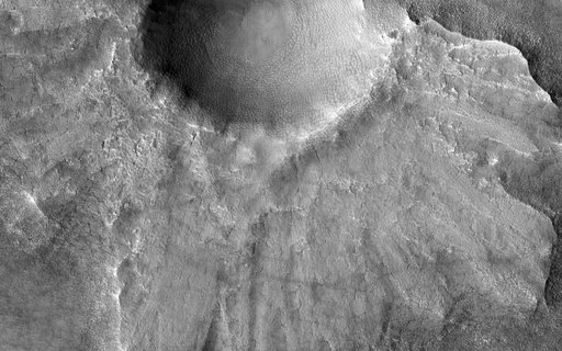
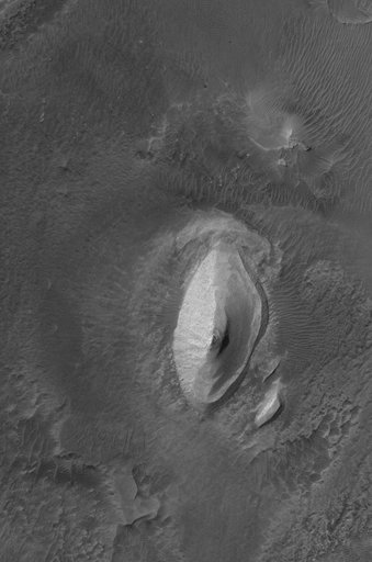
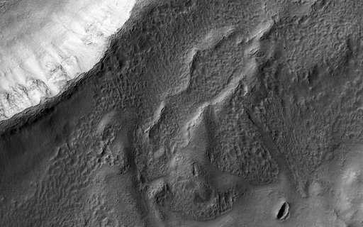
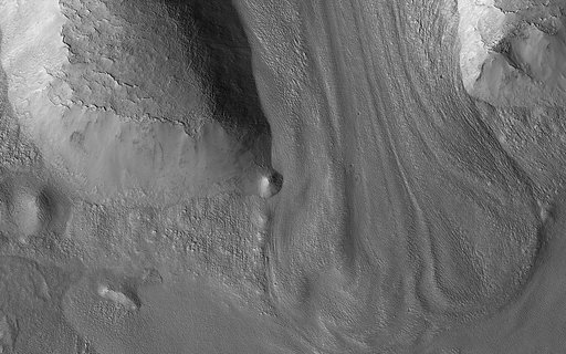
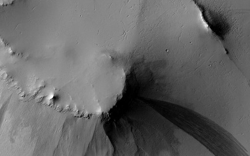
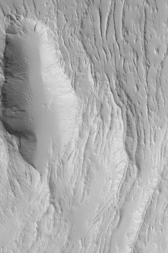
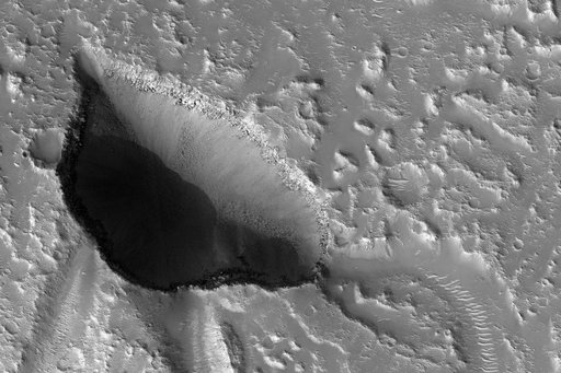
The drainages in this image are part of Hebrus Valles, an outflow channel system likely formed by catastrophic floods. Hebrus Valles is located in the plains of the Northern lowlands, just west of the Elysium volcanic region. Individual channels range from several hundred meters to several kilometers wide and form multi-threaded (anastamosing) patterns. Separating the channels are streamlined forms, whose tails point downstream and indicate that channel flow is to the north.
NASA Image and Video Library’s own descriptionCredit linePits and Channels of Hebrus Valles. NASA/JPL, 2017-01-26. Public domain. ID: PIA11704.