Public domain
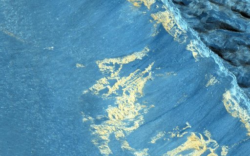
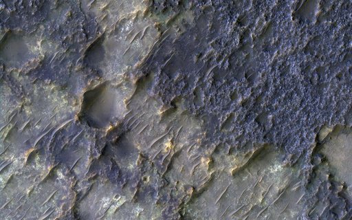
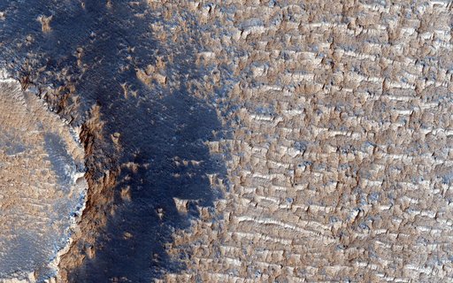
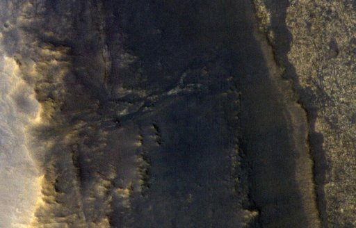
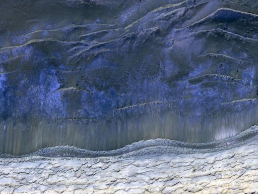
Monitoring of Polar Avalanche Region
From the collection of NASA Image and Video Library. Free to download, adapt and use — no permission needed.
About this work
This image from NASA Mars Reconnaissance Orbiter shows the scarp that demarcates the boundary between layered deposits covering the north polar region and the lower surrounding terrain, which includes sand dunes. Original release date March 3, 2010.
NASA Image and Video Library’s own descriptionCredit lineMonitoring of Polar Avalanche Region. NASA/JPL, 2010-03-03. Public domain. ID: PIA12880.