Public domain
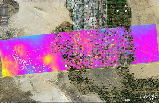
NASA Radar Images Show Continued Deformation from Mexico Quake
From the collection of NASA Image and Video Library. Free to download, adapt and use — no permission needed.
About this work
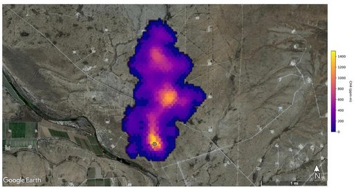
This image shows a UAVSAR interferogram swath overlaid atop a Google Earth image. New NASA airborne radar images show the continuing deformation in Earth surface resulting from the magnitude 7.2 temblor in Baja California on April 4, 2010.
NASA Image and Video Library’s own descriptionCredit lineNASA Radar Images Show Continued Deformation from Mexico Quake. NASA/JPL, 2010-08-04. Public domain. ID: PIA13314.