Public domain
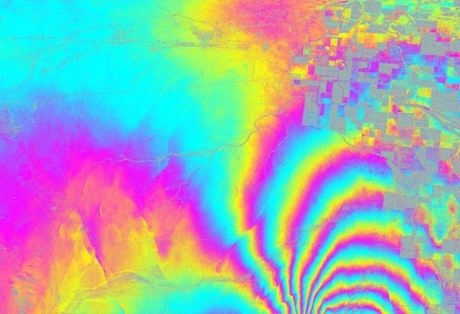
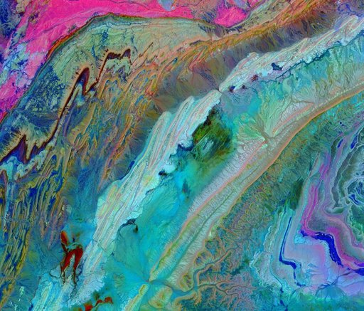
NASA Radar Images Show How Mexico Quake Deformed Earth
From the collection of NASA Image and Video Library. Free to download, adapt and use — no permission needed.
About this work
This radar image from NASA Uninhabited Aerial Vehicle Synthetic Aperture Radar UAVSAR shows the deformed Earth caused by a 7.2 earthquake in Mexico state of Baja California in 2010.
NASA Image and Video Library’s own descriptionCredit lineNASA Radar Images Show How Mexico Quake Deformed Earth. NASA/JPL, 2010-06-23. Public domain. ID: PIA13380.
Similar works
 Upolu Island, Western Samoa
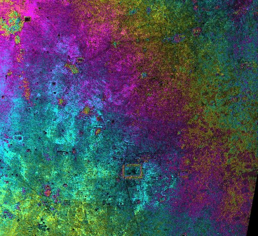 Radar Image with Color as Height, Nokor Pheas Trapeng, Cambodia
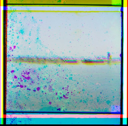 Li︠e︡sopilʹnyĭ zavod Ministerstva Zemledi︠e︡līi︠a︡ i Gosudarstvennykh Imushchestv na li︠e︡v. st. Tobola
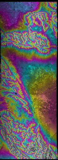 San Andreas Fault, Southern California , Radar Image, Wrapped Color as Height
 Saturn C and B Rings From the Inside Out
 Anti-Atlas Mtns., Morocco