Public domain
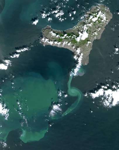
NASA Satellite Tracks Underwater Volcanic Eruption in Canary Islands
From the collection of NASA Image and Video Library. Free to download, adapt and use — no permission needed.
About this work
In July 2011, volcanic tremors began on the Island of El Hierro in the Canary Islands; by September, many tourists evacuated the resort island, fearing a volcanic eruption. This image is from NASA Terra spacecraft.
NASA Image and Video Library’s own descriptionCredit lineNASA Satellite Tracks Underwater Volcanic Eruption in Canary Islands. NASA/JPL, 2011-11-02. Public domain. ID: PIA15017.