Public domain
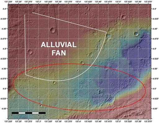
Topographic Map of Curiosity Landing Area
From the collection of NASA Image and Video Library. Free to download, adapt and use — no permission needed.
About this work
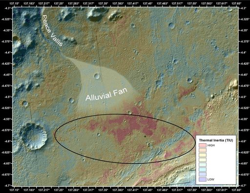
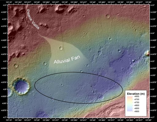
This image shows the topography, with shading added, around the area where NASA Curiosity rover is slated to land on Aug. 5 PDT Aug. 6 EDT. The red oval indicates the targeted landing area for the rover known as the landing ellipse.
NASA Image and Video Library’s own descriptionSubjects
Credit lineTopographic Map of Curiosity Landing Area. NASA/JPL, 2012-08-02. Public domain. ID: PIA15956.