Public domain
NASA Spacecraft Imagery Shows Hurricane Sandy Wind Flow
From the collection of NASA Image and Video Library. Free to download, adapt and use — no permission needed.
About this work
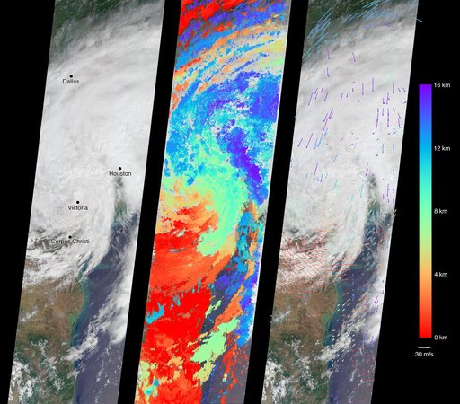
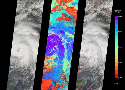
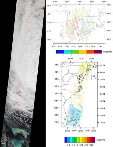
NASA Terra spacecraft captured this imagery and data over Hurricane Sandy as the storm approached the U.S. east coast on Oct. 28, 2012. The image at left covers an area 250 miles 400 kilometers wide and extends from Massachusetts to Florida.
NASA Image and Video Library’s own descriptionCredit lineNASA Spacecraft Imagery Shows Hurricane Sandy Wind Flow. NASA/JPL, 2012-10-29. Public domain. ID: PIA16435.